Great Lakes

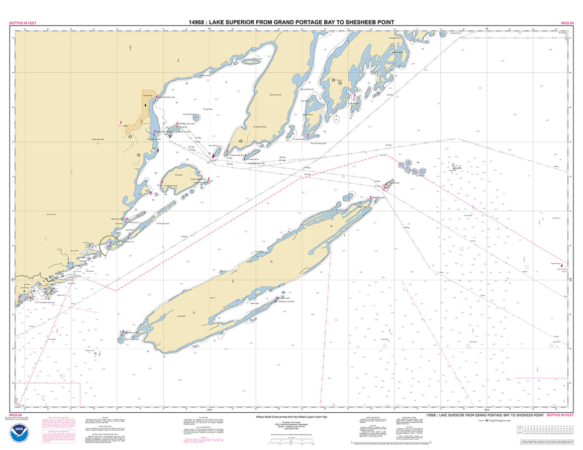

14968
$ 18.95 $ 27.00
Official NOAA Chart of Lake Superior from Grand Portage Bay to Shesbeeb Point printed from the most recent NOAA ENC data. Standard Chart : 44" wide by 34" tall Frugal...
© 2024 FrugalNavigator.com. POS and Ecommerce by Shopify