NOAA CHART PHOTOS MAY BE OUT OF DATE : CLICK HERE TO LEARN MORE
$ 18.95 $ 27.00
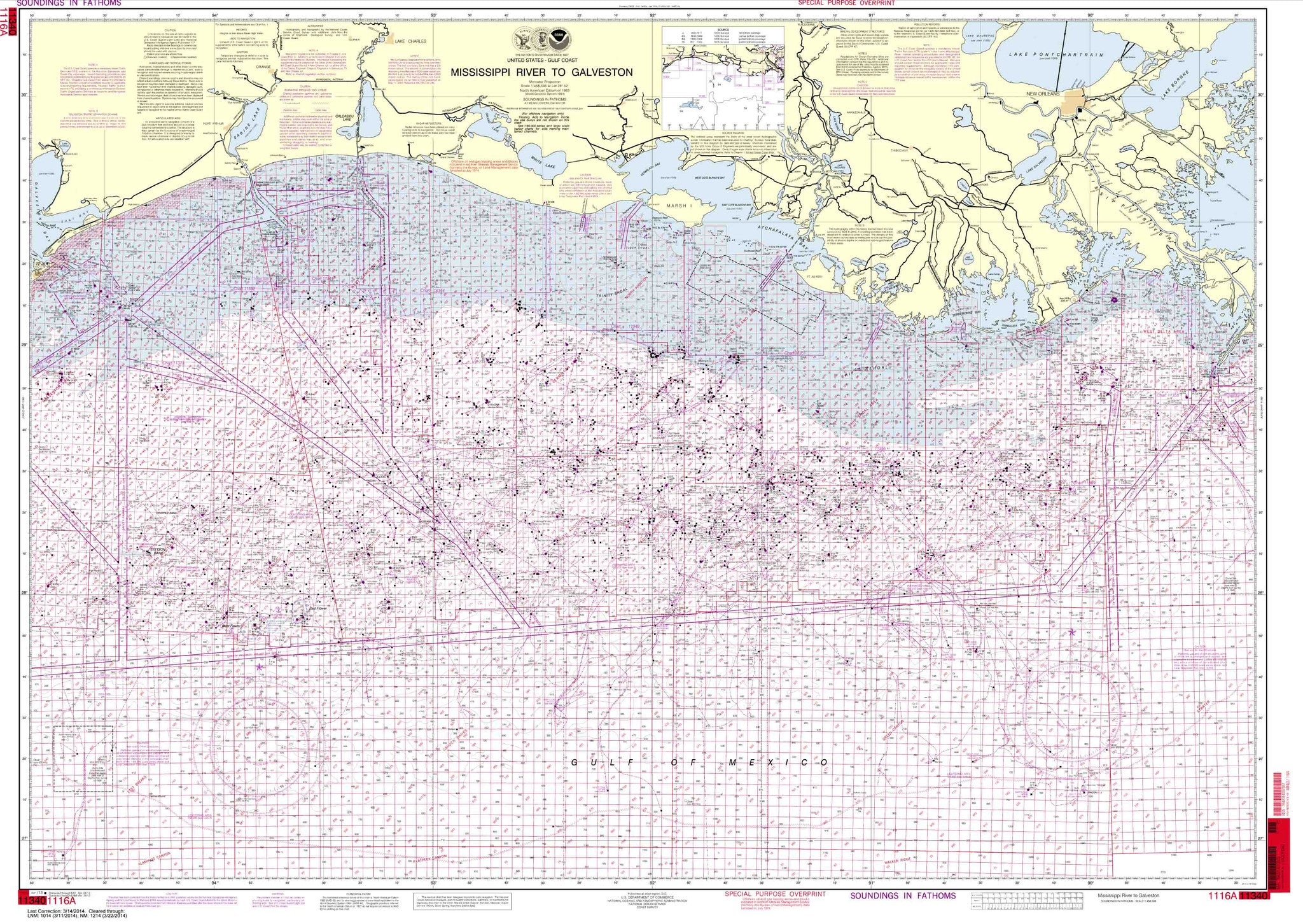
Chart Scale: 1 to 458596
Mississippi River to Galveston (Oil and Gas Leasing Areas)