Haiti and Dominican Republic
High Quality NGA Charts at a Low Price : Most starting at $15.95 with FREE Shipping
Click on Marker Pins to view chart details:


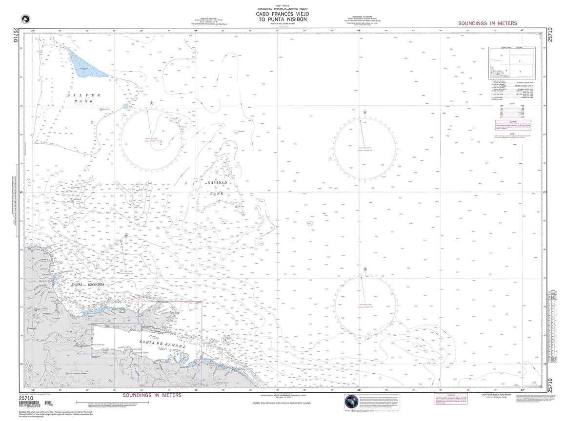
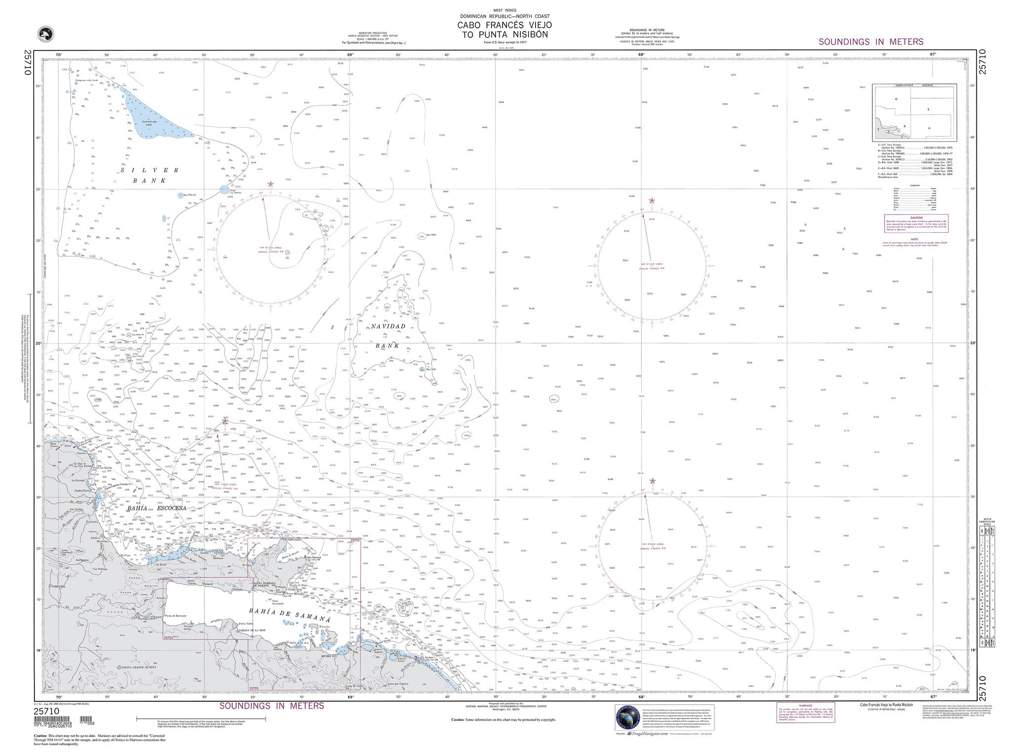
25710
$ 18.95 $ 27.00
Dominican Republic : Cabo Frances Viejo to Punta Nisibon 47" wide by 35" tall

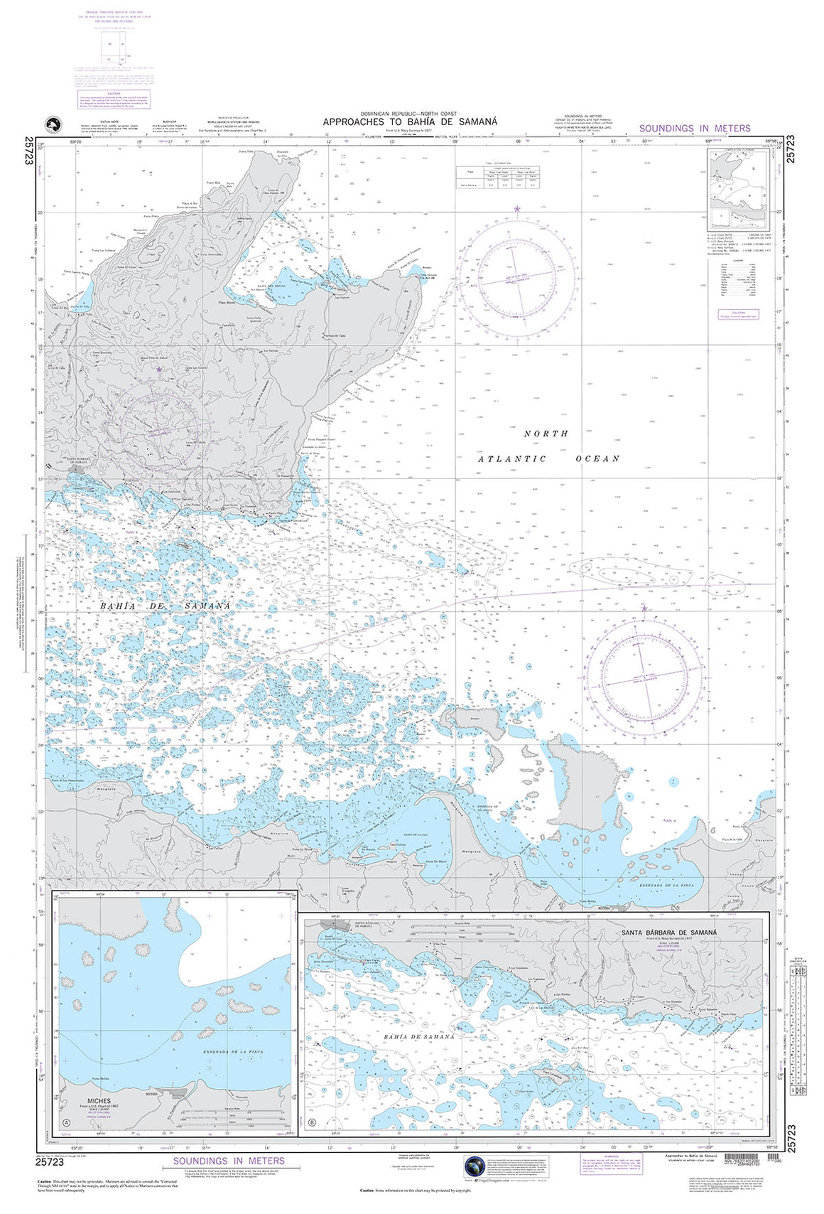
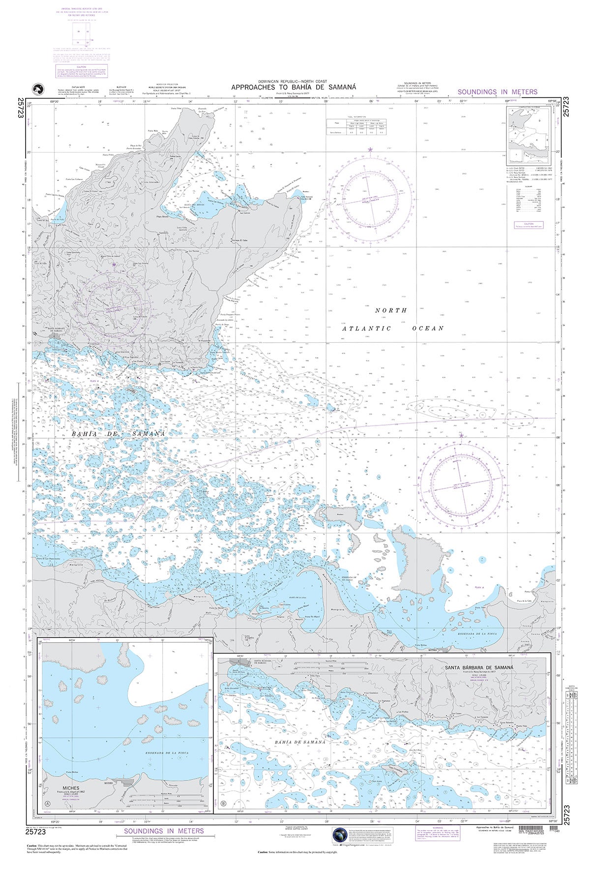
25723
$ 18.95 $ 27.00
Official NGA Chart for the North Coast of the Dominican Republic : Approaches to Bahia De Samana 36" wide by 53" tall

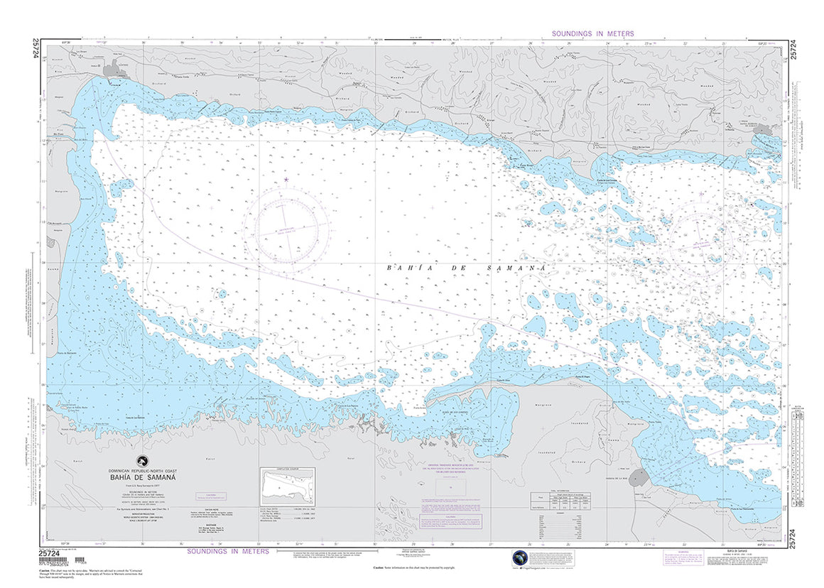
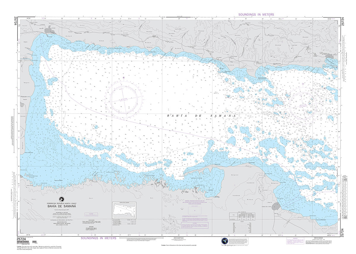
25724
$ 18.95 $ 27.00
Official NGA Chart for the North Coast of the Dominican Republic, Bahia De Samana 49" wide by 35" tall

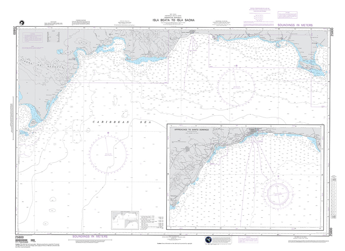

25800
$ 18.95 $ 27.00
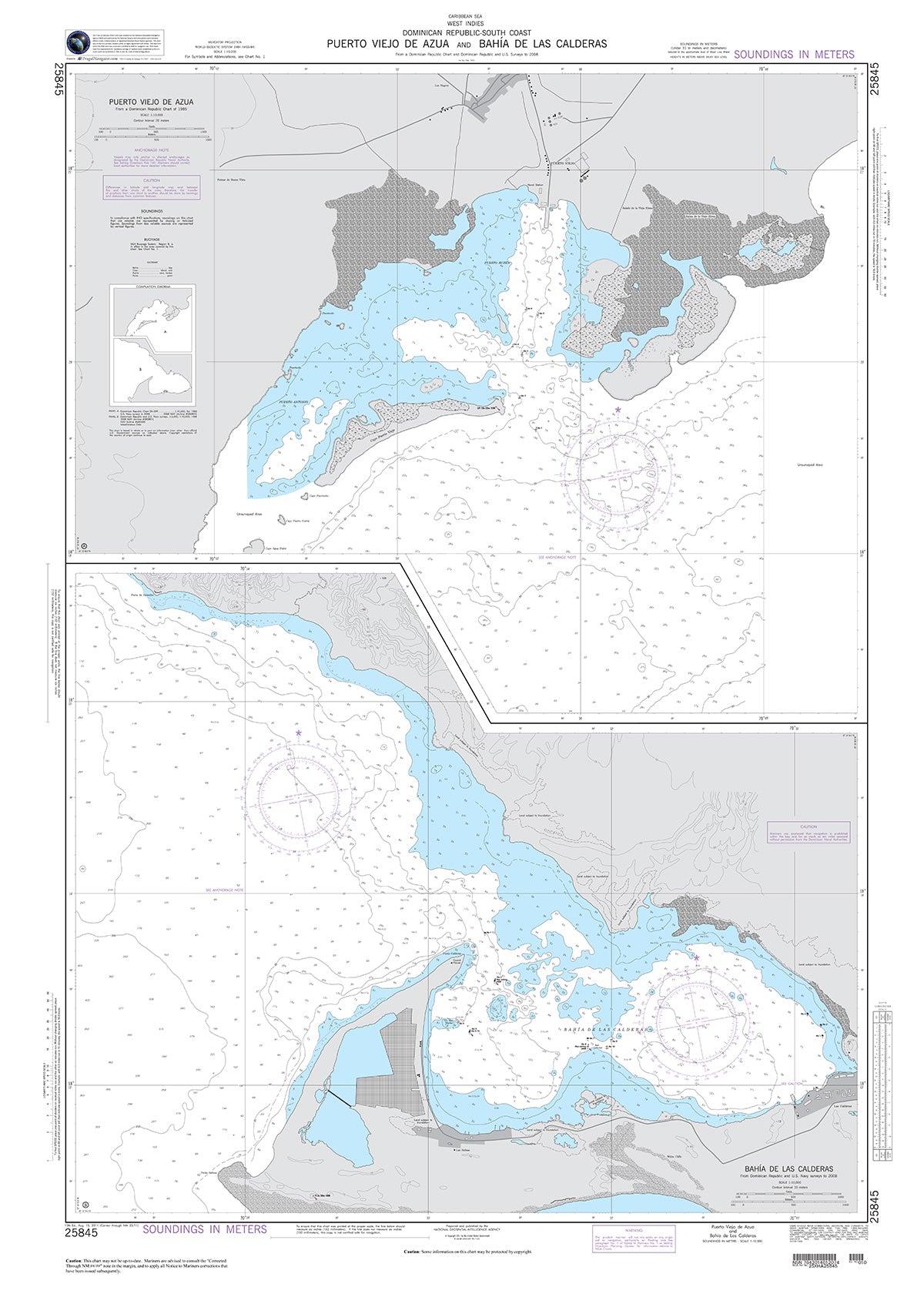
Official NGA Chart for the South Coast of the Dominican Republic, Isla Beata to Isla Saona including approaches to Santo Domingo 48" wide by 35" tall

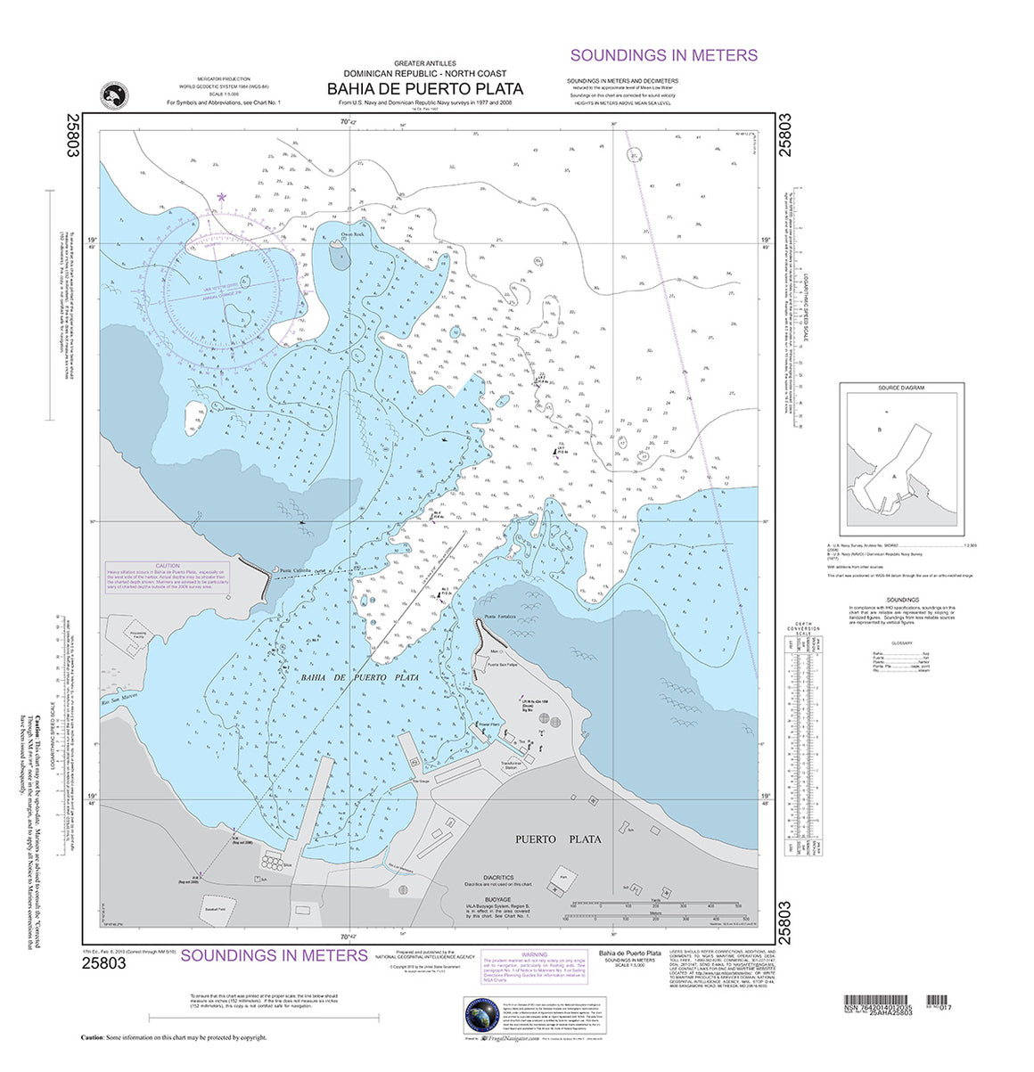

25803
$ 18.95 $ 27.00
Official NGA Chart for the North Coast of the Dominican Republic : Bahia De Puerto Plata 27" wide by 28" tall

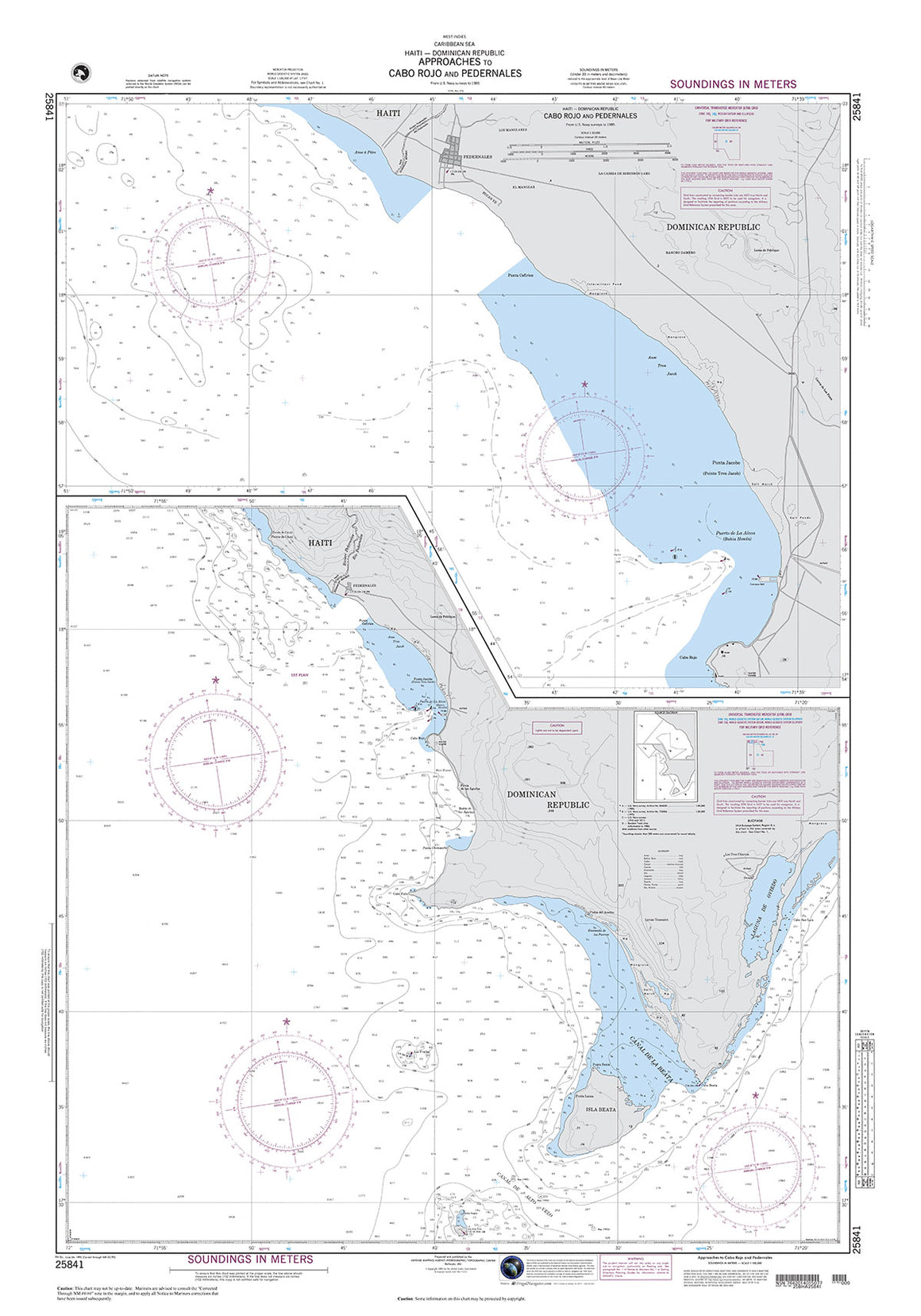

25841
$ 18.95 $ 27.00
Official NGA Chart for Haiti and the Dominican Republic : Approaches to Cabo Rojo and Pedernales 35" wide by 50" tall

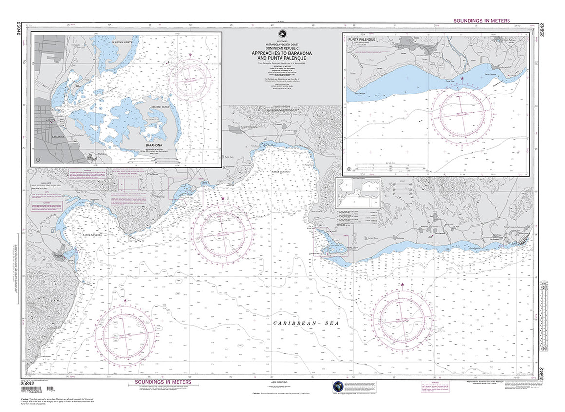
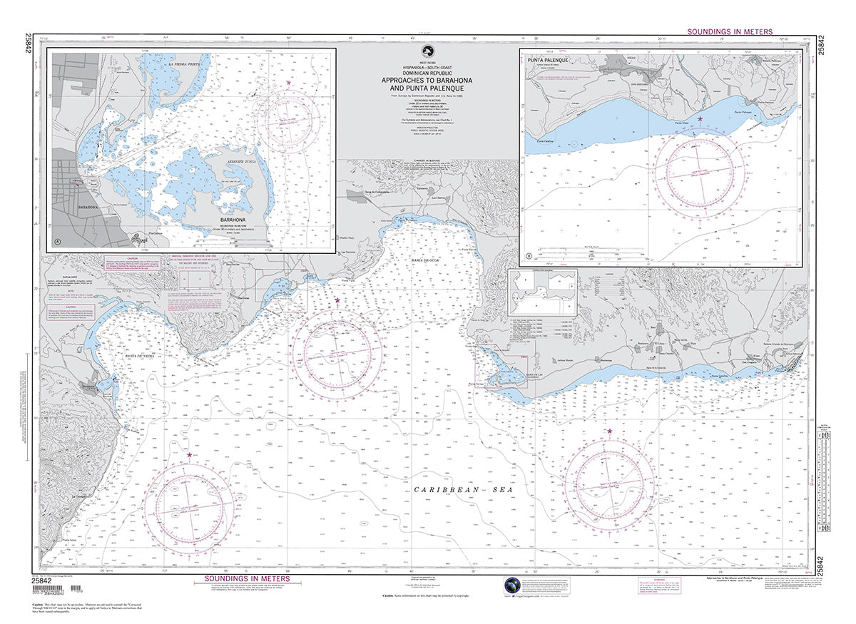
25842
$ 18.95 $ 27.00
Official NGA Chart for the South Coast of the Dominican Republic : Approaches to Barahona and Punta Palenque 48" wide by 35" tall


25848
$ 18.95 $ 27.00
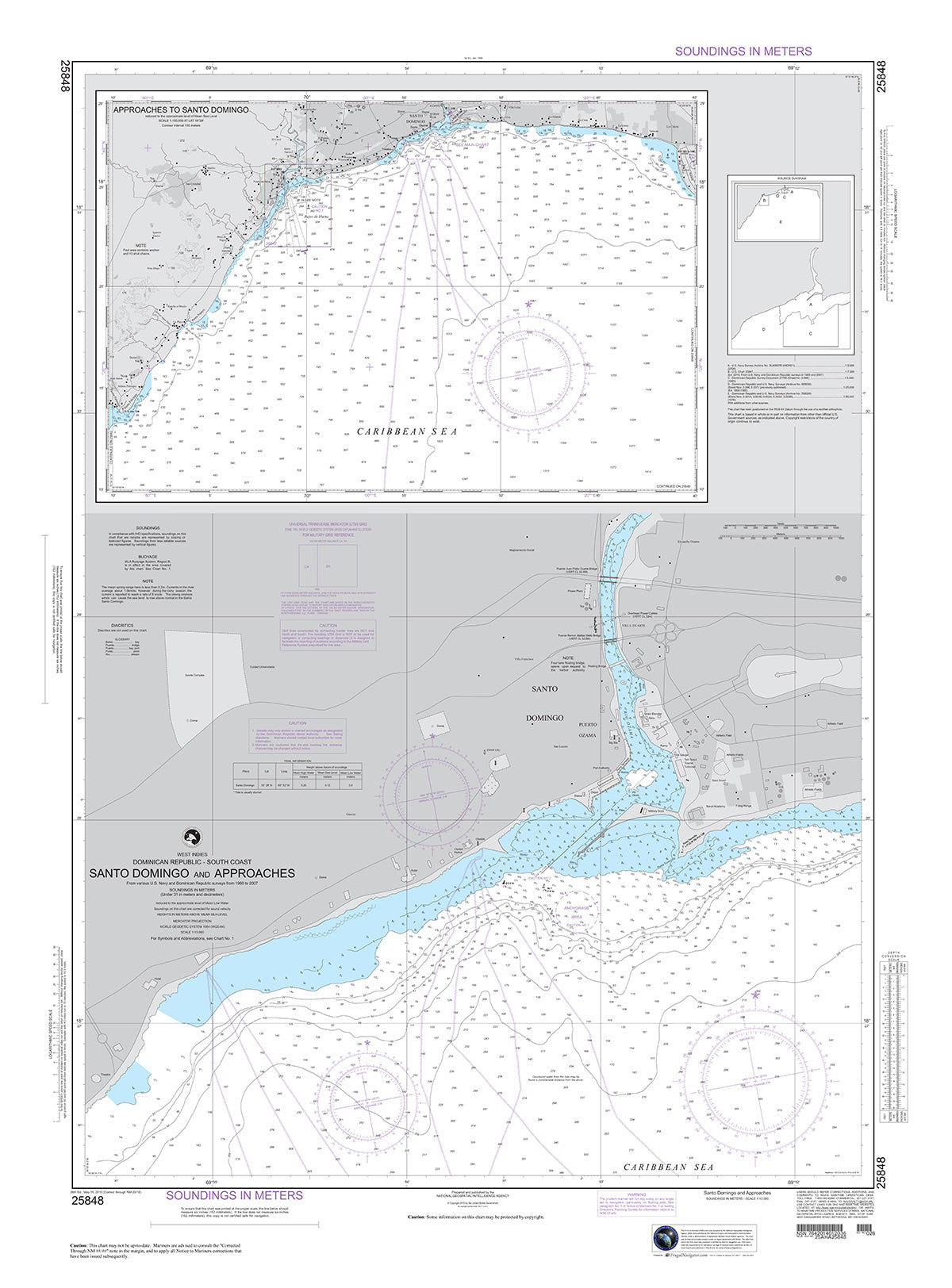
Official NGA Chart for the South Coast of the Dominican Republic : Santo Domingo and Approaches 34" wide by 46" tall


25849
$ 18.95 $ 27.00
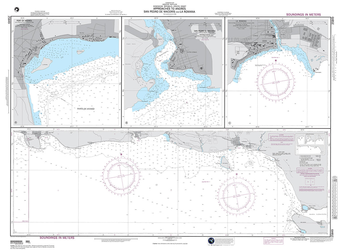
Official NGA Chart of for the South Coast of the Dominican Republic : Approaches to San Pedro De Macoris and La Romana 48" wide by 35" tall


26140
$ 18.95 $ 27.00
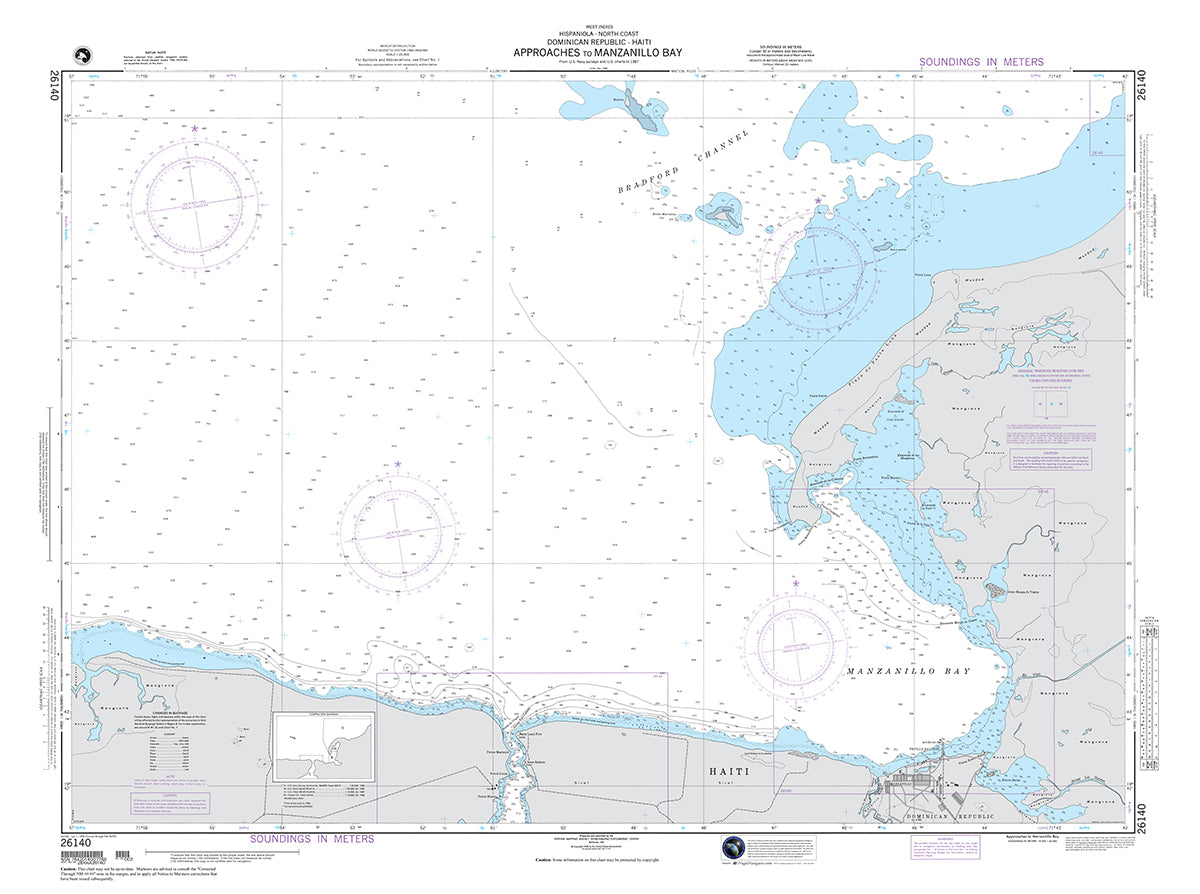
Official NGA Chart for the Northern Coasts of Haiti and the Dominican Republic : Approaches to Manzanillo Bay 47" wide by 35" tall

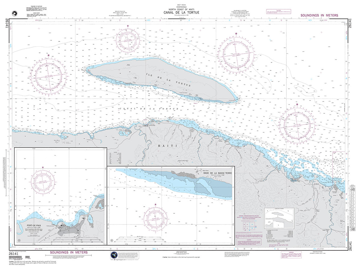

26141
$ 18.95 $ 27.00
Official NGA Chart for the North Coast of Haiti : Canal De La Tortue 47" wide by 35" tall

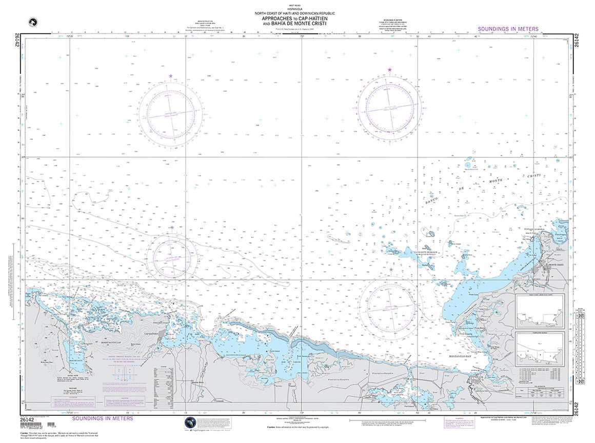

26142
$ 18.95 $ 27.00
Official NGA Chart for the Northern Coasts of Haiti and the Dominican Republic : Approaches to Cap-Haitien and Bahia De Monte Cristi 47" wide by 35" tall

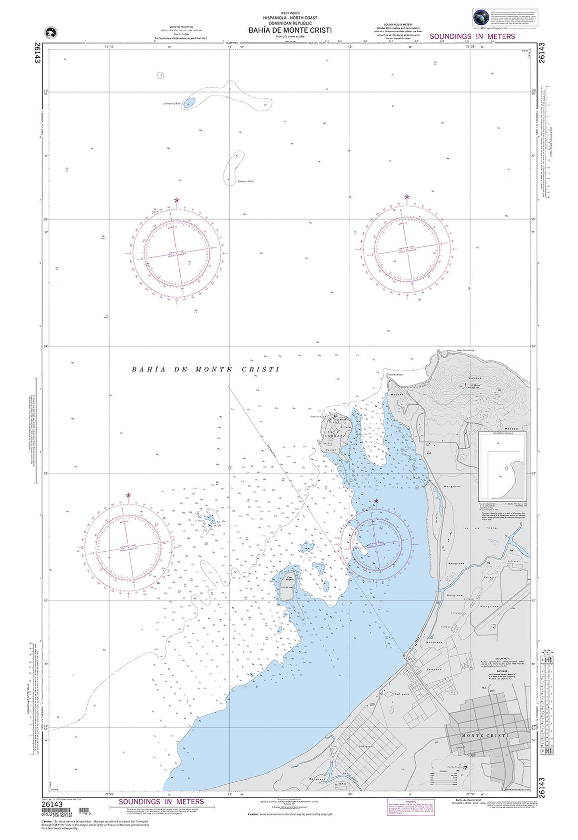
26143
$ 18.95 $ 27.00
Official NGA Chart for the Northern Coasts of Haiti and the Dominican Republic : Bahia De Monte Cristi 33" wide by 48" tall


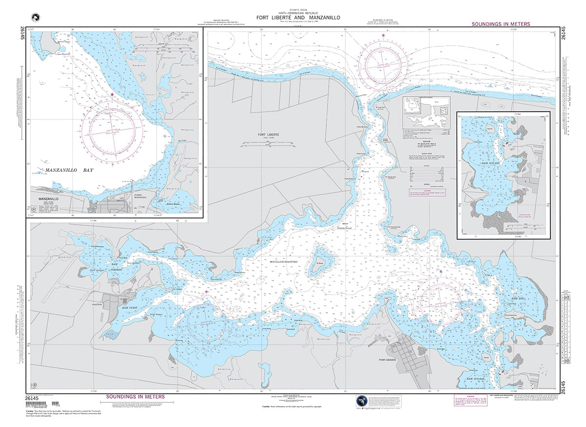
26145
$ 18.95 $ 27.00
Official NGA Chart for Haiti and the Dominican Republic : Fort Liberte and Manzanillo 48" wide by 35" tall

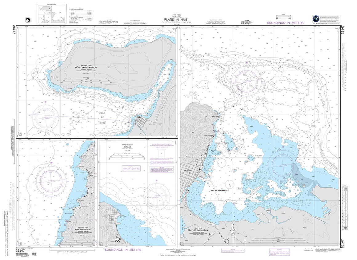
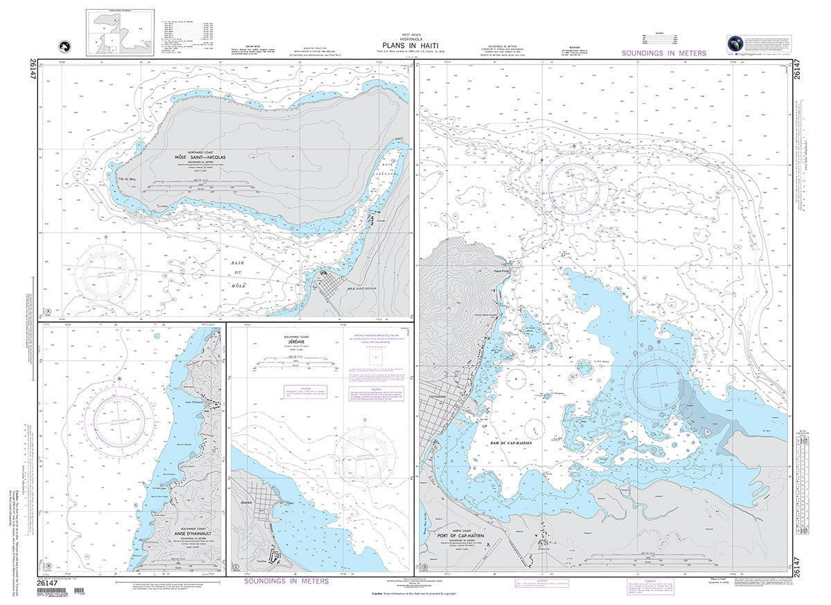
26147
$ 18.95 $ 27.00
Official NGA Chart for Haiti : Plans Including Mole Saint-Nicolas, Jeremie, Anse D'Hainault, and Port of Cap-Haitien 48" wide by 35" tall

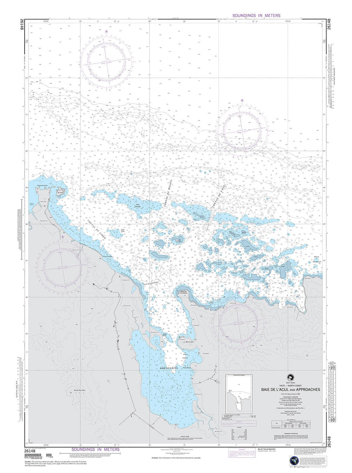

26148
$ 18.95 $ 27.00
Official NGA Chart for the North Coast of Haiti : Baie De L'Acul and Approaches 35" wide by 47" tall

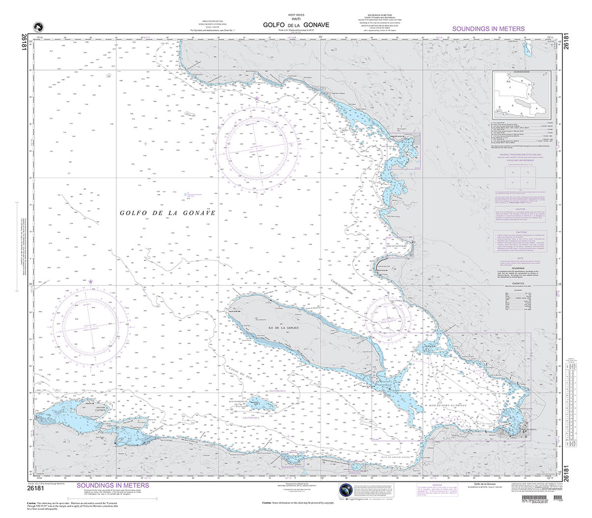
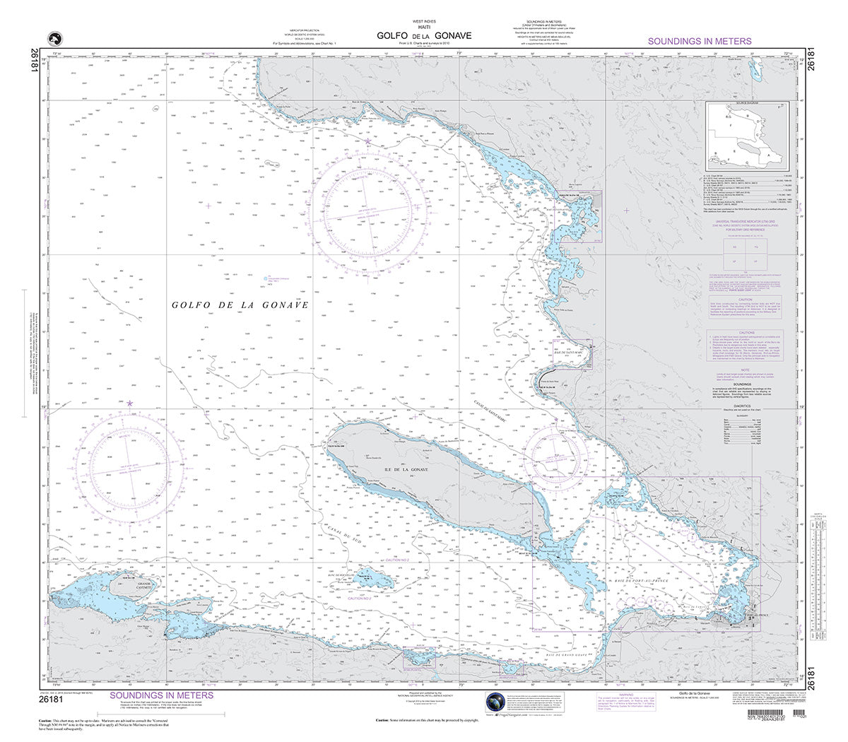
26181
$ 18.95 $ 27.00
Official NGA Chart of Haiti : Golfo De La Gonave 40" wide by 35" tall

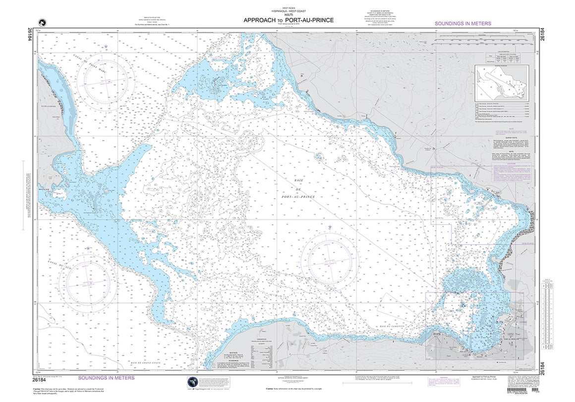
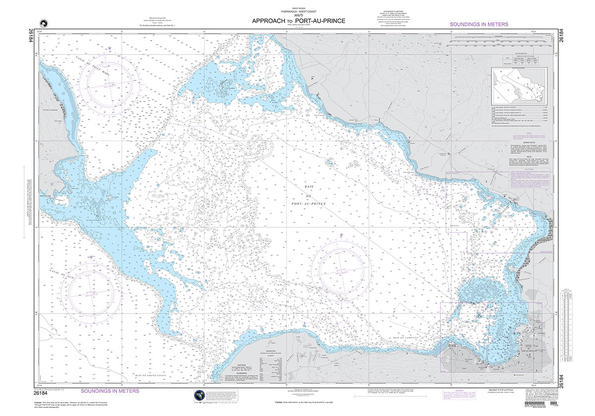
26184
$ 18.95 $ 27.00
Official NGA Chart of Haiti : Approach to Port-Au-Prince 50" wide by 35" tall


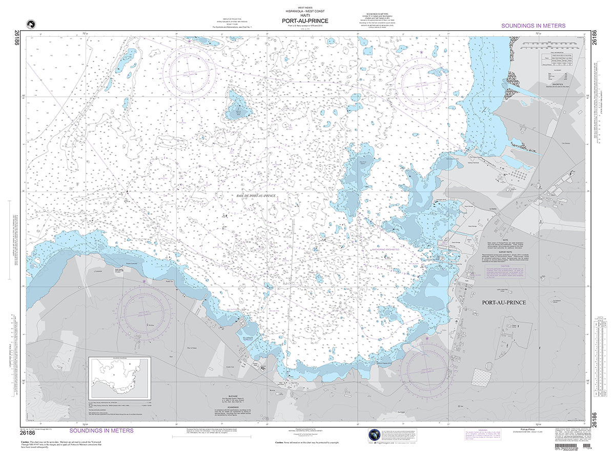
26186
$ 18.95 $ 27.00
Official NGA Chart of Haiti : Port-Au-Prince 47" wide by 35" tall

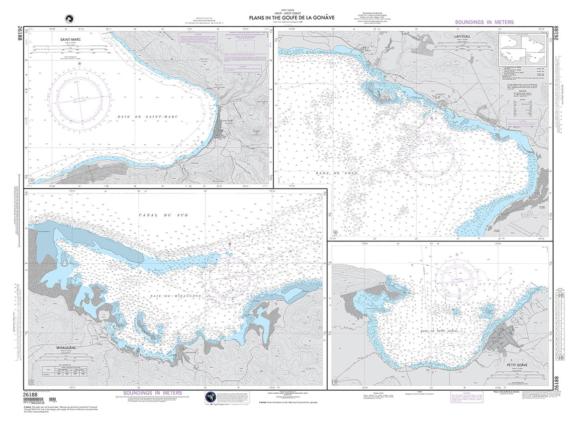

26188
$ 18.95 $ 27.00
Official NGA Chart of Haiti : Plans in the Golfe De La Gonave 48" wide by 35" tall

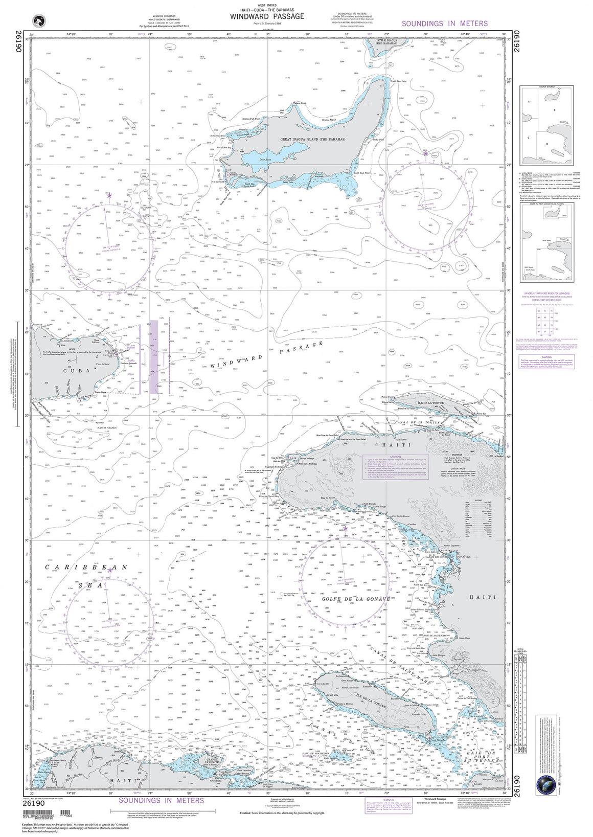
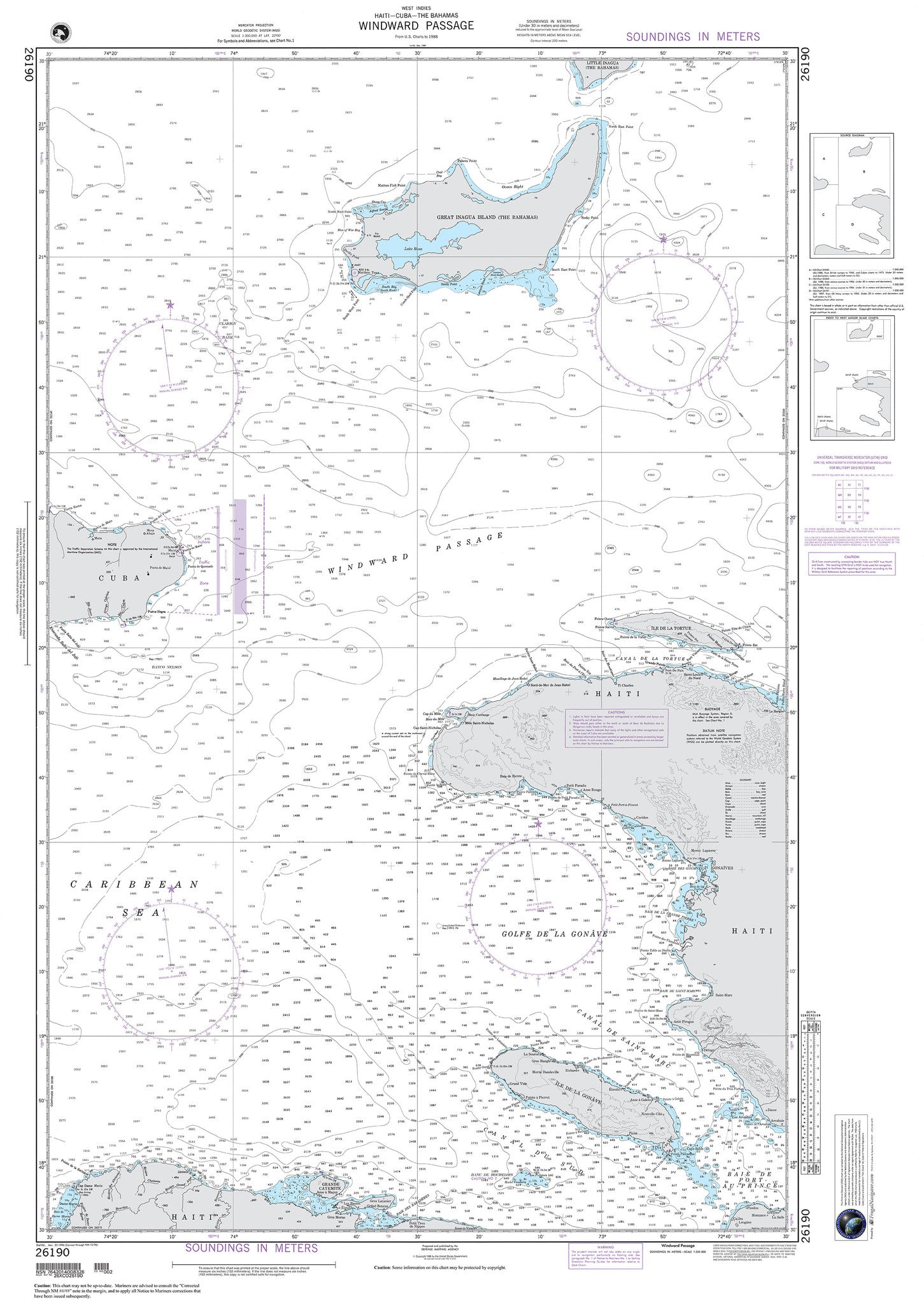
26190
$ 18.95 $ 27.00
The Bahamas , Cuba , Haiti : Windward Passage 34" wide by 49" tall

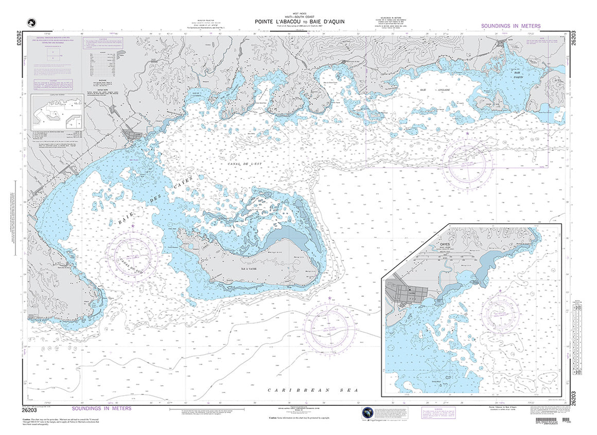

26203
$ 18.95 $ 27.00
Official NGA Chart of Haiti : Point L'Abacou to Baie D'Aquin 48" wide by 35" tall
© 2026 FrugalNavigator.com. POS and Ecommerce by Shopify