Wyoming Topograhic Map Index
USGS Topographic Maps for the State of Wyoming
Welcome to Frugal Navigator's index for Wyoming 7.5 minute map catalogs. If you're a day hiker, backpacker, horse packer, prospector, hunter or just an old armchair geographer with bad knees, we have the map for you. At a scale of 1 to 24,000 this is about as detailed as you will find (1 mile equals a little over 2.5 inches on the map).
Our USGS maps are always the most "up to date" available. Since we print on demand (and you are welcome to demand anytime) only the latest version will ship. Here at Frugal Navigator, we appreciate history as much as navigation and land forms of this beautiful country of ours. For this reason, we always print the newest shaded relief quadrangle (with contour lines) on the front of each map and a historic quadrangle from the USGS archives on the back. (quick aside: Did you know that the old maps actually show buildings and ruins? I once found an old trappers cabin in the Kaniksu, patched the roof, cleaned it out and, with permission from the Ranger, used it as a private ski hut all one winter. You never know what fun you might find reading those old maps!)
High Quality Topo Maps at a Low Price : $8.95 with FREE Shipping
click on Magnifying Glass to view area catalog
For readability, enlarge the view by using the +/- controls at the bottom of this catalog

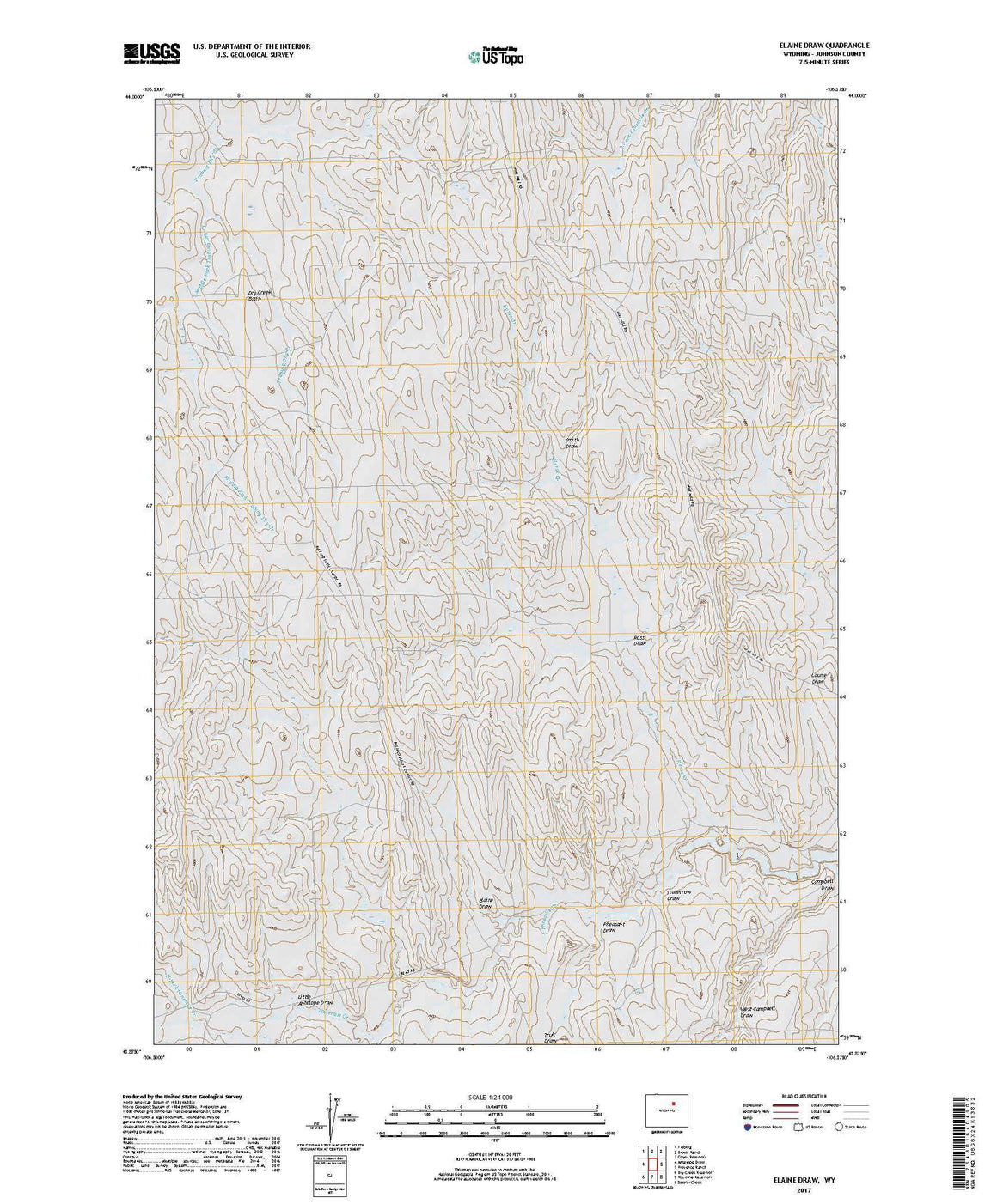
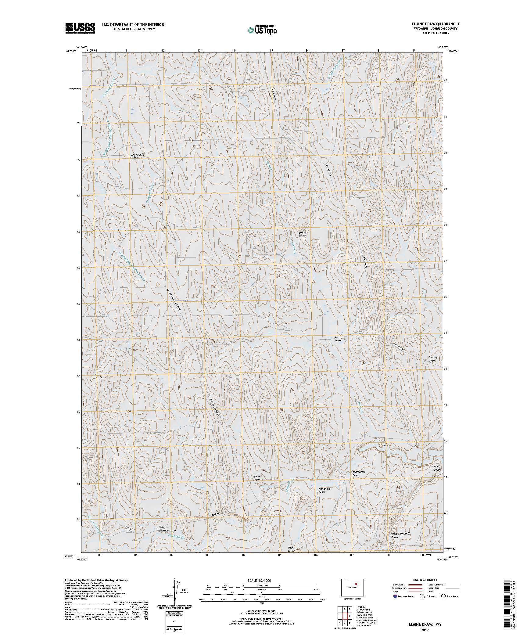
Elaine Draw, WY
$ 8.95 $ 15.00
USGS Topo 7.5-minute map for Elaine Draw 1. Trabing 2. Brown Ranch 3. Coyer Reservoir 4. Antelope Draw 5. Provence Ranch 6. Dry Creek Reservoir 7. Fourmile Reservoir 8. Soldier...
© 2026 FrugalNavigator.com. POS and Ecommerce by Shopify