24028
$ 18.95 $ 27.00
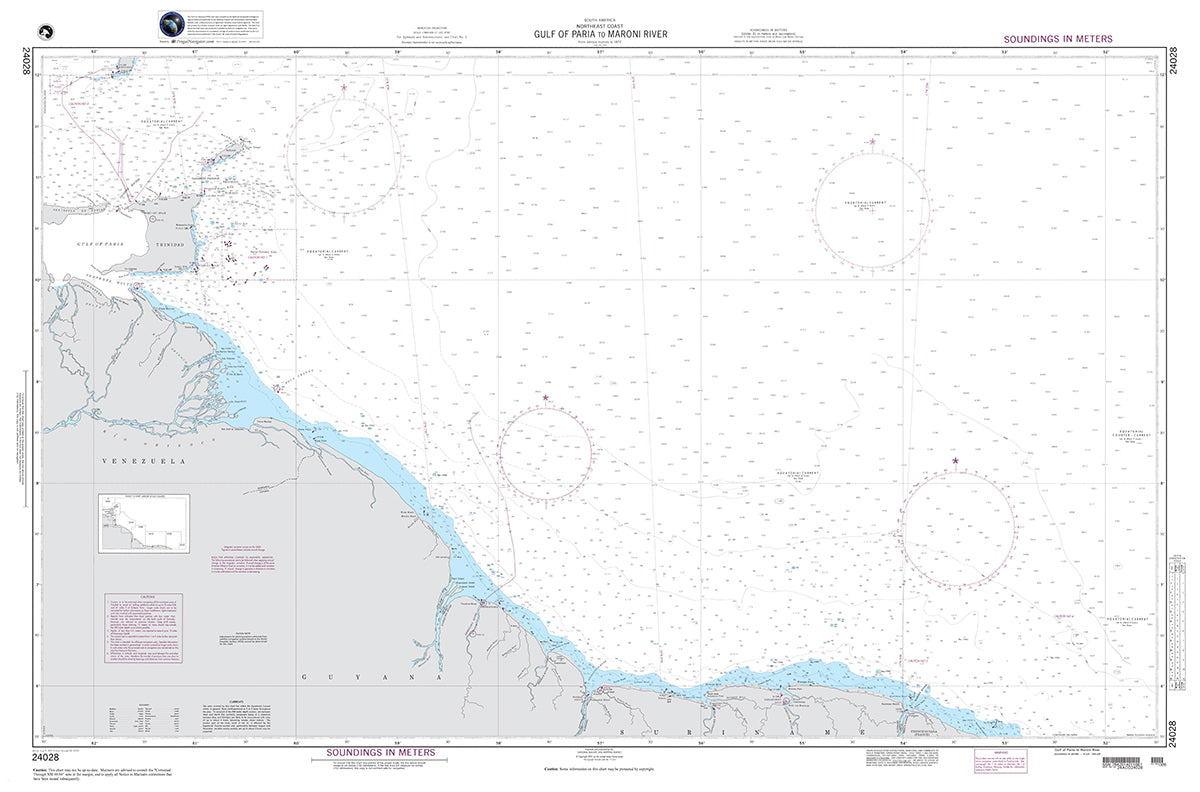
Official NGA Chart for the Northeast Coast of South America : Gulf of Paria to Maroni River (showing portions of Venezuela, Suriname, Guyana, and French Guiana)
53" wide by 35" tall
© 2026 FrugalNavigator.com. POS and Ecommerce by Shopify