26194
$ 18.95 $ 27.00
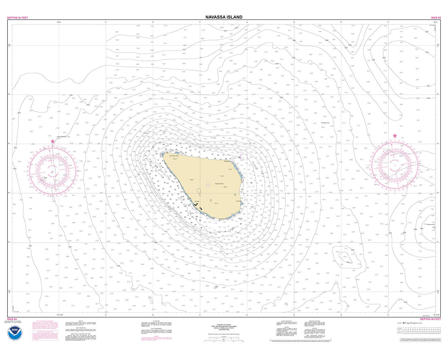
Official NOAA Chart of Navassa Island which is northeast of Jamaica and south of Cuba. This chart is printed from the most recent NOAA ENC data.
Standard size: 44" wide by 34" tall
Frugal Navigator uses the NOAA Custom Chart Tool to create our ENC based paper charts.
If you intend to fold this chart, consider purchasing our Small Craft Fold version. With this option, your chart will be quartered and shipped in a clear 6 mil (18" by 24") chart case.
© 2025 FrugalNavigator.com. POS and Ecommerce by Shopify