11314
$ 18.95
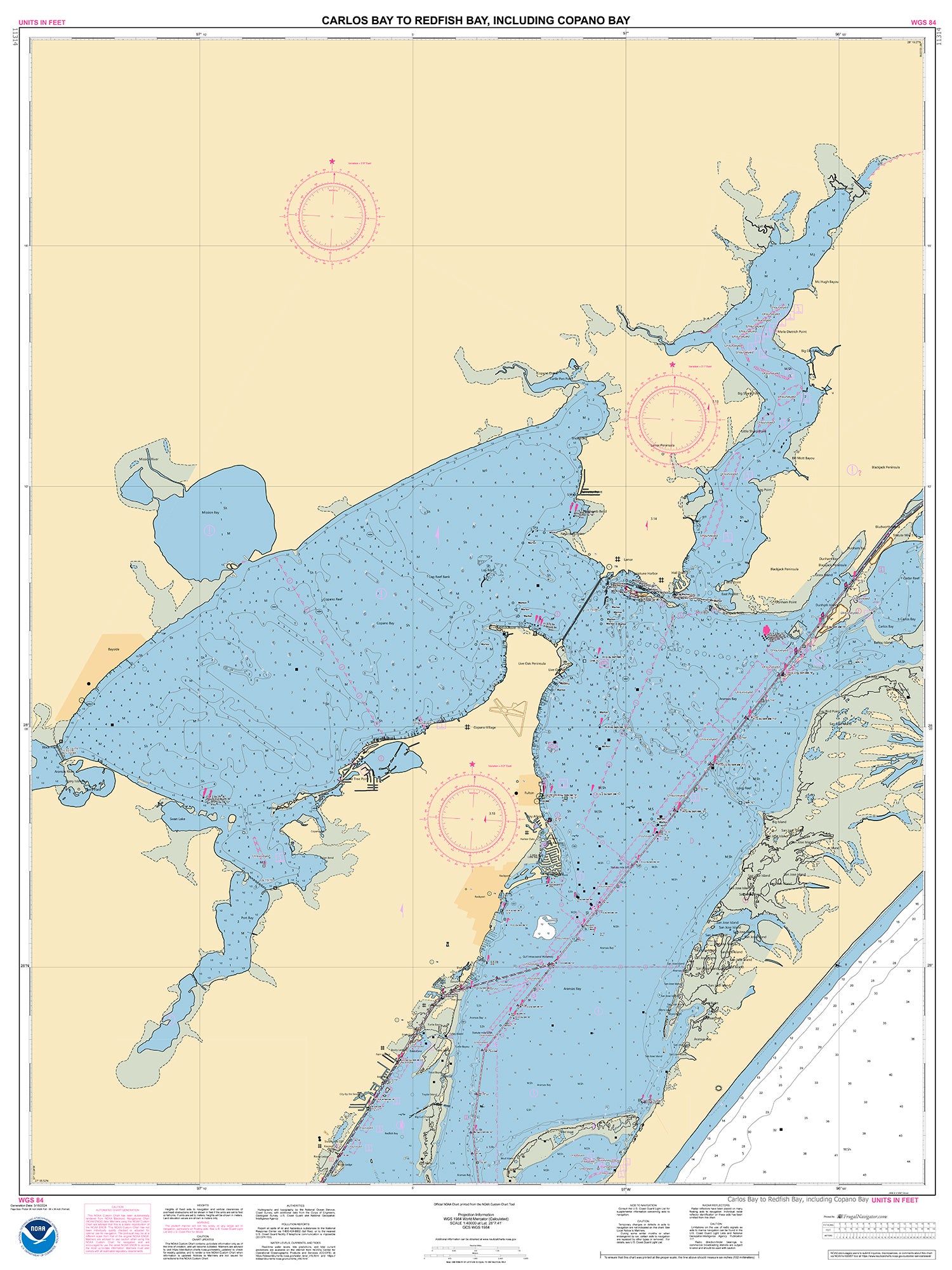
Official NOAA Chart of the Intracoastal Waterway : Carlos Bay to Redfish Bay, including Copano Bay. This chart is printed from the most recent NOAA ENC data.
Standard size : 48" by 36"
Frugal Navigator uses the NOAA Custom Chart Tool to create this ENC based paper chart.
© 2025 FrugalNavigator.com. POS and Ecommerce by Shopify