GL3


14852
$ 49.95
St. Clair River Folio Chart : a collection of 6 official NOAA Charts compiled with the latest ENC data. Shipped in a 18" by 24", 6 mil chart cover ...


14862
$ 18.95 $ 27.00
Port Huron to Pte aux Barques; Port Sanilac; Harbor Beach


14863
$ 18.95 $ 27.00
Saginaw Bay;Port Austin Harbor;Caseville Harbor;Entrance to Au Sable River;Sebewaing Harbor;Tawas Harbor


14864
$ 18.95 $ 27.00
Harrisville to Forty Mile Point;Harrisville Harbor;Alpena;Rogers City and Calcite


14869
$ 18.95 $ 27.00
Thunder Bay Island to Presque Isle;Stoneport Harbor;Resque Isle Harbor


14880
$ 18.95 $ 27.00
Official NOAA chart of the Straits of Mackinac Standard Size: 49" wide by 36" tall If you plan to use this chart for wall mounting or other artistic purposes, CLICK...


14881
$ 18.95 $ 27.00
Detour Passage to Waugoshance Pt.;Hammond Bay Harbor;Mackinac Island;Cheboygan;Mackinaw City;St. lgnace


14882
$ 18.95 $ 27.00
St. Mars River - Detour Passage to Munuscong Lake;Detour Passage


14883
$ 18.95 $ 27.00
St. Marys River - Munuscong Lake to Sault Ste. Marie


14911
$ 18.95 $ 27.00
Waugoshance Point to Seul Choix Point, including Beaver Island Group;Port Inland;Beaver Harbor


14913
$ 18.95 $ 27.00
Official NOAA Chart: Grand Traverse Bay to Little Traverse Bay; Harbor Springs; Petoskey; Elk Rapids; Suttons Bay; Northport; Traverse City Standard size: 36" wide by 49" tall

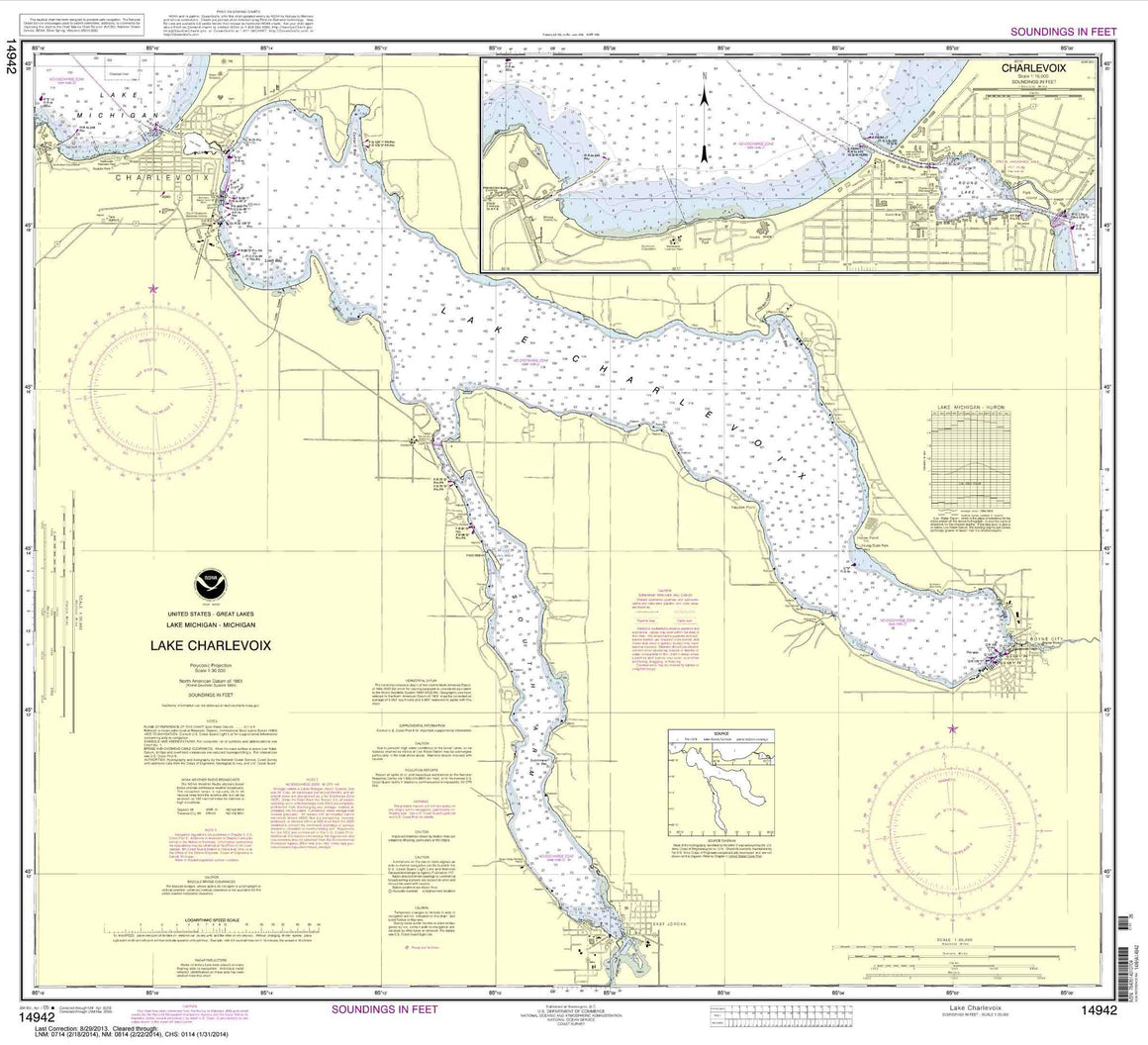

14942
$ 18.95 $ 27.00
Lake Charlevoix;Charlevoix, South Point to Round Lake
© 2025 FrugalNavigator.com. POS and Ecommerce by Shopify