Gulf Coast Catalog #4 | Mobile Bay to Apalachicola Bay
High Quality NOAA Charts at a Low Price : Most starting at $15.95 with FREE Shipping
Click on Marker Pins to view chart details:


11376
$ 18.95 $ 27.00
Official NOAA Chart of Mobile Bay in Alabama. This chart is printed from the most recent NOAA ENC data. Standard size: 34" wide by 44" tall Frugal Navigator uses the NOAA...


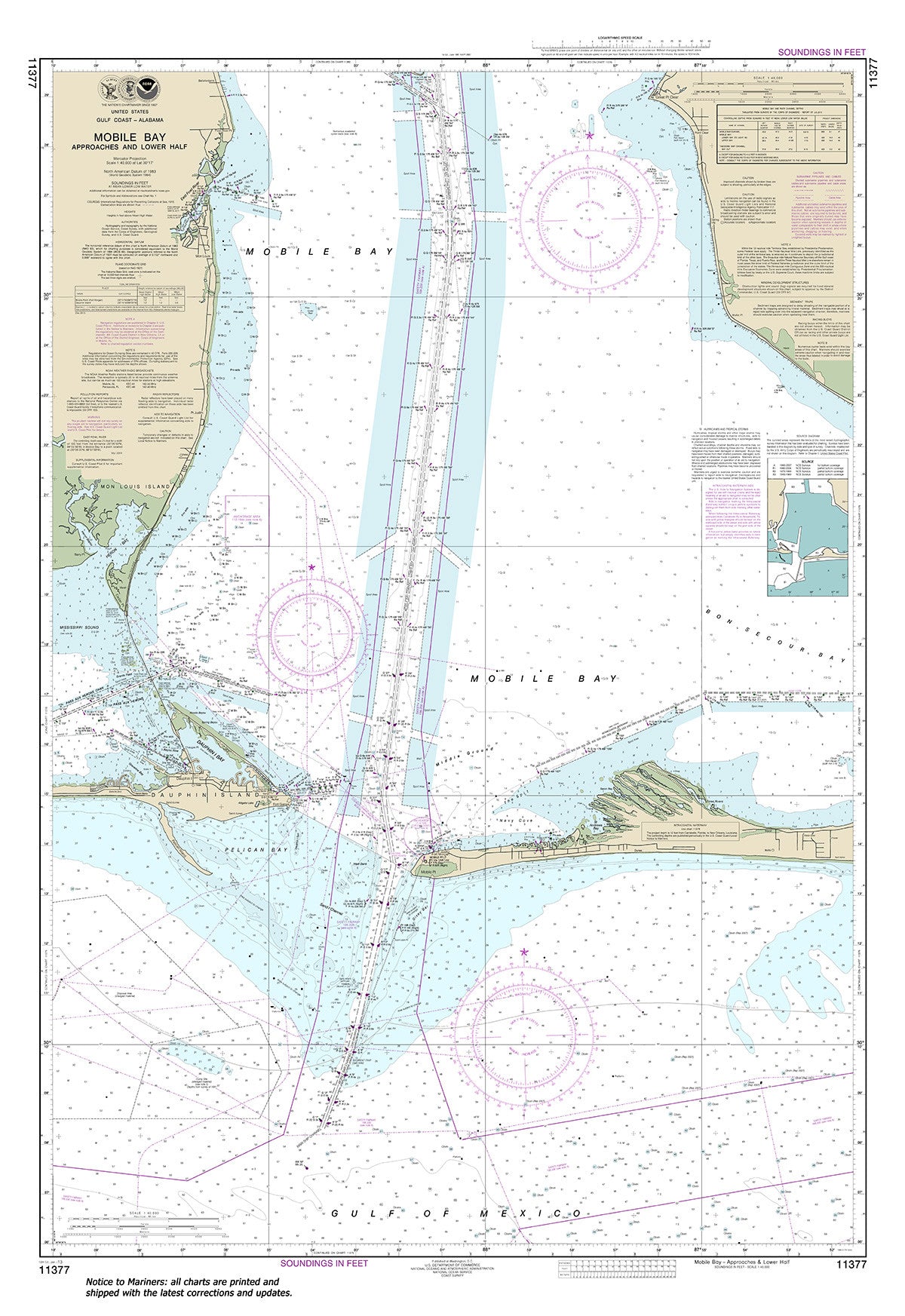
11377
$ 18.95 $ 27.00
Official NOAA Chart: Mobile Bay Approaches and Lower Half Standard size: 33" wide by 49" tall If you would prefer a smaller, lighter and less bulky format for navigating, you...


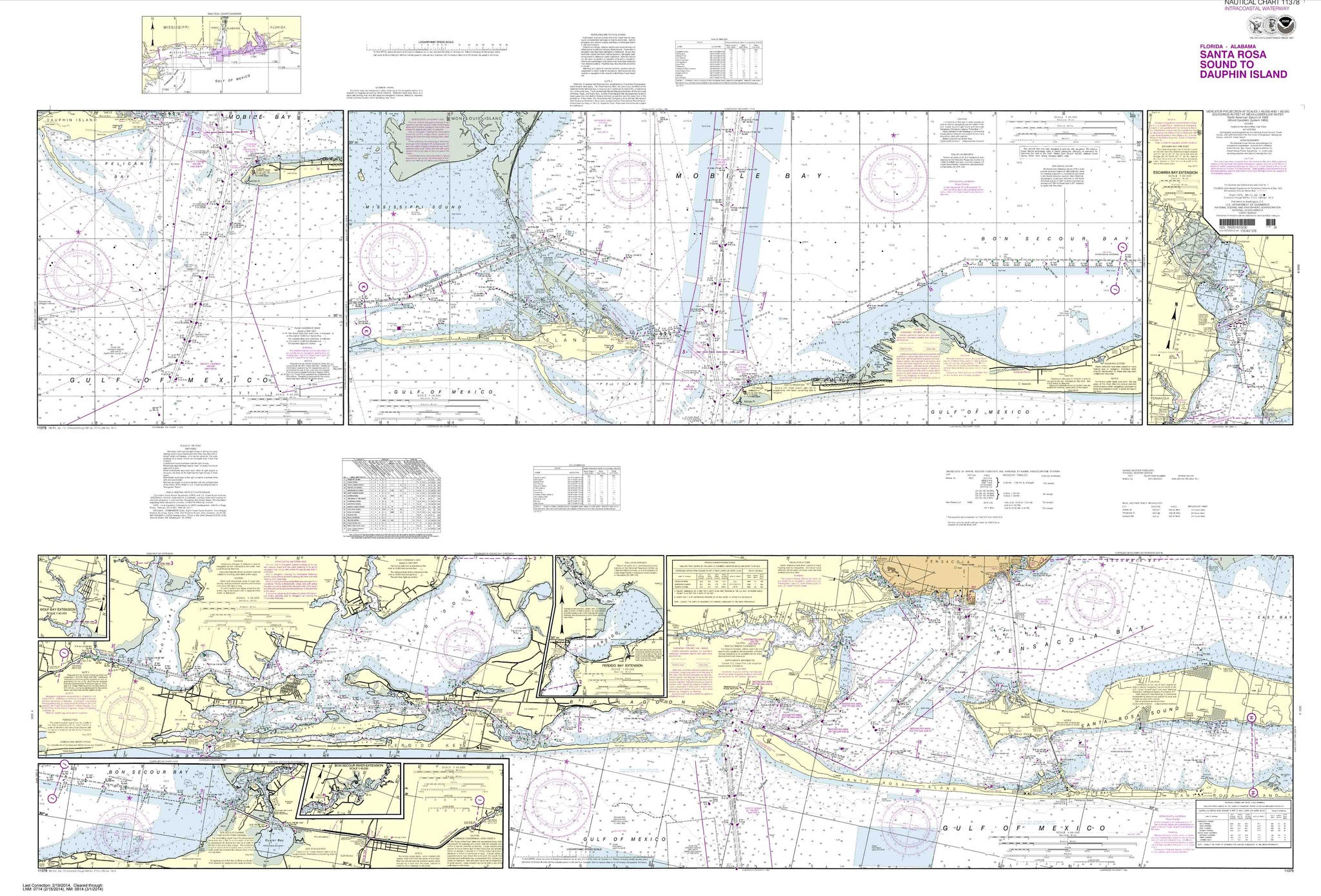
11378
Sold Out $ 27.00
Intracoastal Waterway Santa Rosa Sound to Dauphin Island These popular NOAA small craft charts are printed front and back. By default we ship them rolled on our heavy, durable, cruising...


11380
$ 18.95 $ 27.00
Official NOAA Chart: Mobile Bay East Fowl River to Deer River Pt; Mobile Middle Bay Terminal Standard size: 31" wide by 39" tall If you would prefer a smaller, lighter...


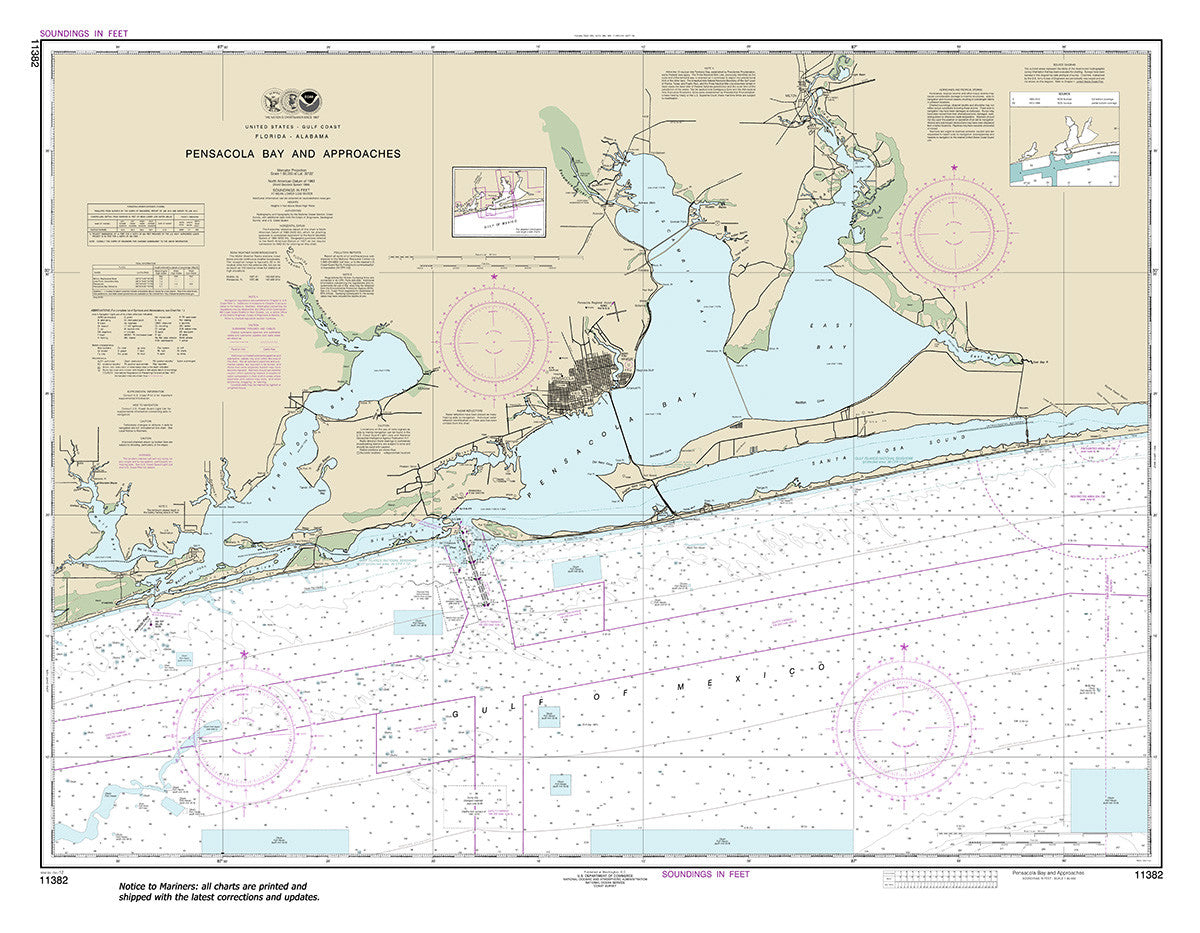
11382
$ 18.95 $ 27.00
Official NOAA Chart: Pensacola Bay and approaches Standard size: 45" wide by 35" tall If you would prefer a smaller, lighter and less bulky format for navigating, you may want...


11383
$ 18.95 $ 27.00
Official NOAA Chart of Pensacola Bay. This chart is printed from the most recent NOAA ENC data. Standard size: 46" by 35" Frugal Navigator uses the NOAA Custom Chart Tool...


11384
$ 18.95 $ 27.00
Official NOAA Chart of the Pensacola Bay Entrance. This chart is printed from the most recent NOAA ENC data. Standard size: 34" wide by 44" tall Frugal Navigator uses the NOAA...


11385
$ 49.95
Official NOAA Chart of the Intracoastal Waterway from West Bay to Santa Rosa Sound. This chart is printed from the latest NOAA ENC data. Small Craft Folio : an 8 sheet...

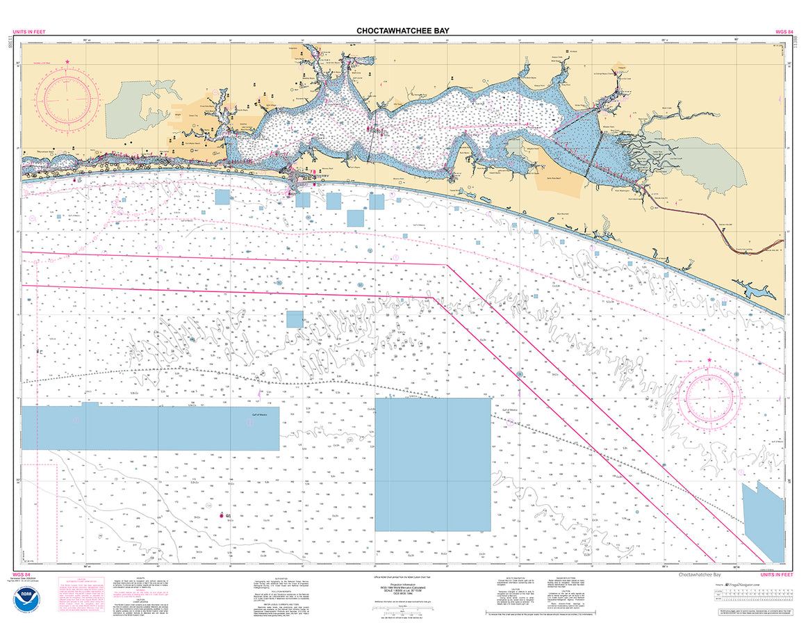
11388
$ 18.95 $ 27.00
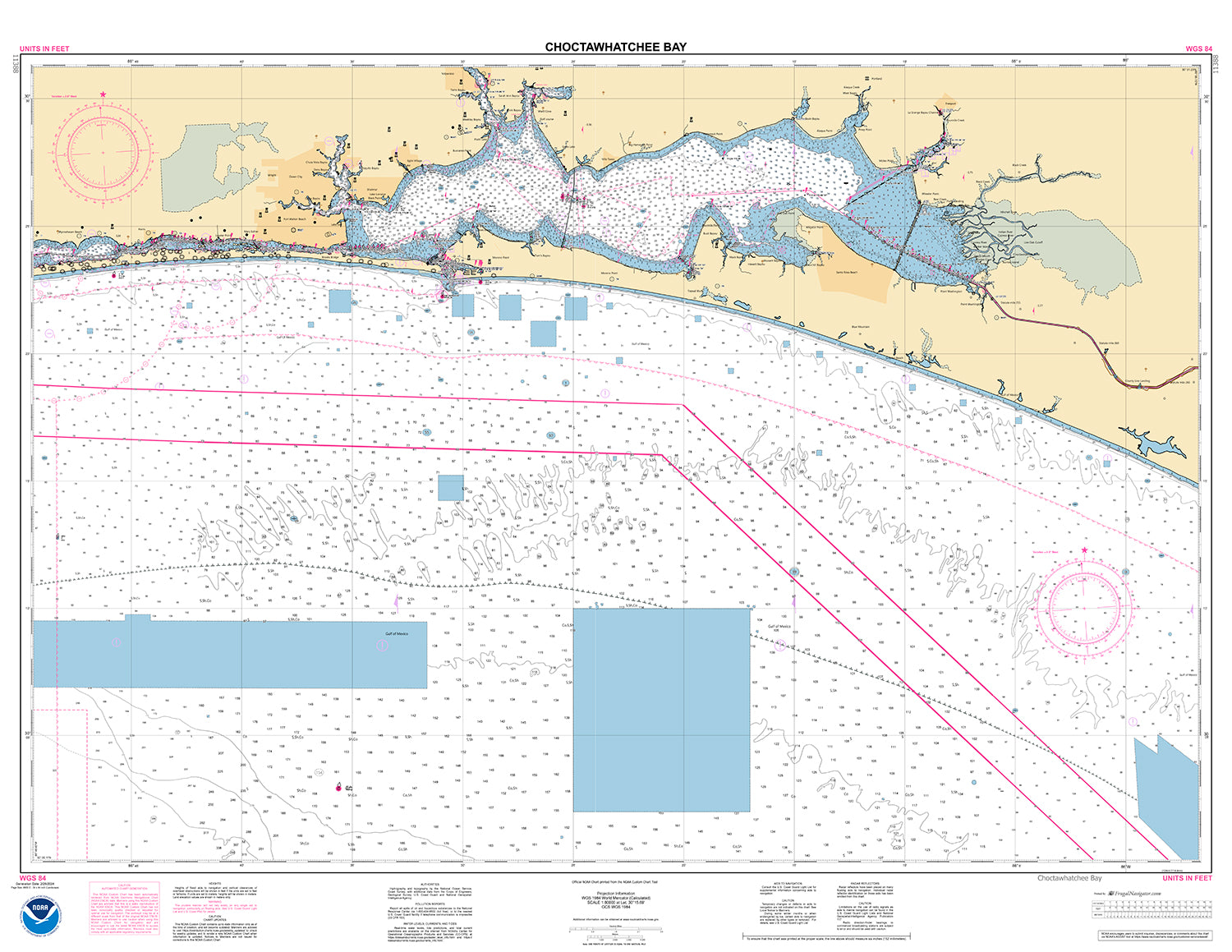
Official NOAA Chart: Choctawhatchee Bay in Florida. This chart is printed from the most recent NOAA ENC data. Standard size: 34" wide by 44" Frugal Navigator uses the NOAA Custom...


11389
$ 18.95 $ 27.00
Official NOAA Chart of St Joseph and St Andrew Bays To see adjacent charts in this area please explore our Gulf Coast Catalog Standard size: 35" wide by 47" tall...

11390
$ 18.95 $ 27.00
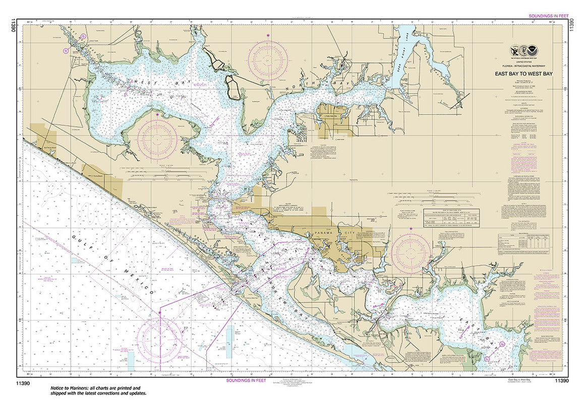
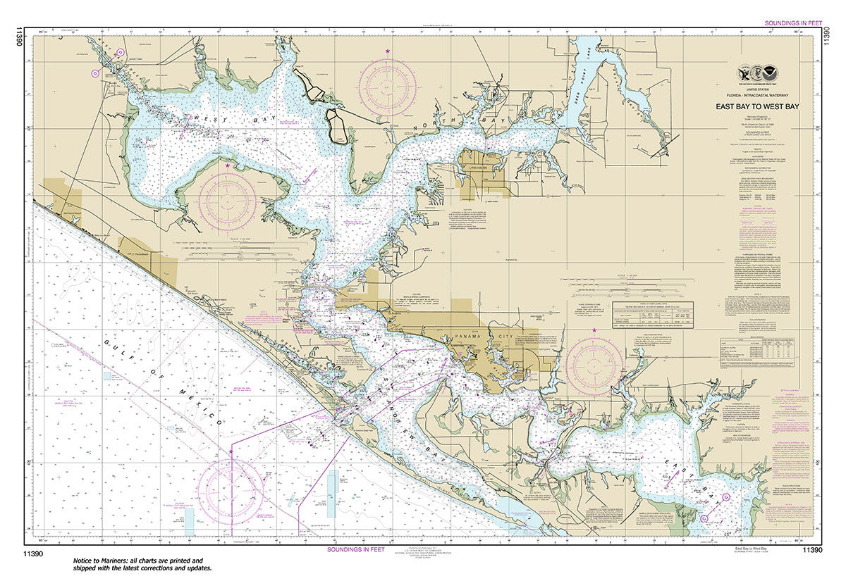
Official NOAA Chart: Intracoastal Waterway East Bay to West Bay Standard size: 46" wide by 32" tall If you would prefer a smaller, lighter and less bulky format for navigating,...


11391
$ 18.95 $ 27.00
Official NOAA Chart: St. Andrew Bay Standard size: 39" wide by 36" tall If you would prefer a smaller, lighter and less bulky format for navigating, you may want to...


11392
$ 18.95 $ 27.00
Official NOAA Chart: St. Andrew Bay - Bear Point to Sulpher Point Standard size: 36" wide by 32" tall If you would prefer a smaller, lighter and less bulky format...


11393
$ 18.95 $ 27.00
Official NOAA Chart: Intracoastal Waterway Lake Wimico to East Bay To see adjacent charts in this area please explore our Gulf Coast Catalog Standard Size: 60" wide by 34" tall...


11401
$ 18.95 $ 27.00
Apalachicola Bay to Cape San Blas Standard size: 44" wide by 36" tall If you would prefer a smaller, lighter and less bulky format for navigating, you may want to...


11402
$ 18.95 $ 27.00
Intracoastal Waterway Apalachicola Bay to Lake Wimico Standard size: 46" wide by 32" tall If you would prefer a smaller, lighter and less bulky format for navigating, you may want...


11404
$ 18.95 $ 27.00
Intracoastal Waterway Carrabelle to Apalachicola Bay; Carrabelle River Standard size: 46" wide by 32" tall
© 2025 FrugalNavigator.com. POS and Ecommerce by Shopify