Northeast Atlantic Coast Catalog #3 | Plum Island to Cape Cod
High Quality NOAA Charts at a Low Price : Most starting at $15.95 with FREE Shipping
Click on Marker Pins to view chart details:


13241
$ 18.95 $ 27.00
Official NOAA Chart of Nantucket Island To see adjacent charts in this area please explore our Atlantic Coast Catalog Standard Chart: 43" wide by 36" tall If you would prefer...


13242
$ 18.95 $ 27.00
Official NOAA Chart of Nantucket Harbor To see adjacent charts in this area please explore our Atlantic Coast Catalog Standard Chart: 28" wide by 34" tall If you would prefer...


13244
$ 18.95 $ 27.00
Official NOAA Chart: Eastern Entrance to Nantucket Sound To see adjacent charts in this area please explore our Atlantic Coast Catalog Standard Chart: 35" wide by 34" tall If you...


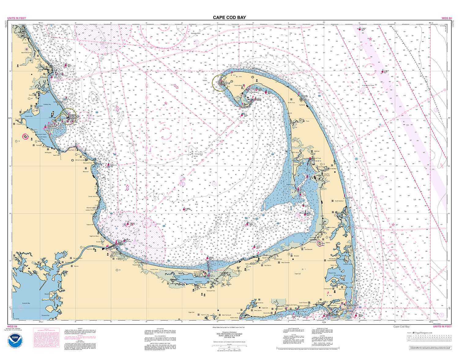
13246
$ 18.95
Official NOAA chart for Cape Cod Bay. This chart is printed from the most recent NOAA ENC data. Standard Chart : 44" by 34" Frugal Navigator uses the NOAA Custom...


13248
$ 18.95
Official NOAA Chart of Chatham Harbor and Pleasant Bay. This chart is printed from the most recent ENC data. Standard Size: 35" by 46" , scale 1:20,000 Small Craft Folio: each...


13249
$ 18.95
Official NOAA Chart of Provincetown Harbor on Cape Cod. This nautical chart is printed from the most recent NOAA ENC data. Standard Chart : 35" by 46" Frugal Navigator uses the...


13250
$ 18.95 $ 27.00
Official NOAA Chart: Wellfleet Harbor; Sesuit Harbor To see adjacent charts in this area please explore our Atlantic Coast Catalog Standard Chart: 24" wide by 32" tall If you would...


13251
$ 18.95 $ 27.00
Official NOAA Chart: Barnstable Harbor To see adjacent charts in this area please explore our Atlantic Coast Catalog Standard Chart: 35" wide by 25" tall If you would prefer a...


13253
$ 18.95 $ 27.00
Official NOAA Chart: Harbors of Plymouth, Kingston and Duxbury; Green Harbor To see adjacent charts in this area please explore our Atlantic Coast Catalog Standard Chart: 30" wide by 42"...
© 2025 FrugalNavigator.com. POS and Ecommerce by Shopify