Northeast Atlantic Coast Catalog #3 | Plum Island to Cape Cod
High Quality NOAA Charts at a Low Price : Most starting at $15.95 with FREE Shipping
Click on Marker Pins to view chart details:


13205
$ 18.95
Official NOAA Chart: Block Island Sound and Approaches. This chart is printed from the most recent NOAA ENC data. Standard Chart : 34" by 44" Frugal Navigator uses the NOAA...


13209
$ 18.95 $ 27.00
Official NOAA Chart of Block Island Sound and Gardiners Bay; Montauk Harbor To see adjacent charts in this area please explore our Atlantic Coast Catalog Standard Chart: 48" wide by...


13212
$ 18.95 $ 27.00
Official NOAA Chart: Approaches to New London Harbor. This nautical chart is printed from the most recent NOAA ENC data. Standard Chart: 35" by 46" Frugal Navigator uses the NOAA...


13213
$ 18.95 $ 27.00
Official NOAA Chart of New London Harbor and vicinity; Bailey Point to Smith Cove To see adjacent charts in this area please explore our Atlantic Coast Catalog Standard Chart: 33"...


13214
$ 18.95 $ 27.00
Official NOAA Chart of Fishers Island Sound. This nautical chart is printed from the latest NOAA ENC data. Standard Chart: 46" by 35" Frugal Navigator uses the NOAA Custom Chart...


13215
$ 18.95 $ 27.00
Official NOAA Chart of Block Island Sound; Point Judith to Montauk Point To see adjacent charts in this area please explore our Atlantic Coast Catalog Standard Chart: 36" wide by...


13217
$ 18.95 $ 27.00
Official NOAA Chart of Block Island To see adjacent charts in this area please explore our Atlantic Coast Catalog Standard Chart: 30" wide by 43" tall If you would prefer...


13218
$ 18.95
Official NOAA Chart from Marthas Vineyard to Block Island. This chart is printed from the most recent NOAA ENC data. Standard Chart : 44" by 34" Frugal Navigator uses the...


13219
$ 18.95 $ 27.00
Official NOAA Chart of Point Judith Harbor To see adjacent charts in this area please explore our Atlantic Coast Catalog Standard Chart: 26" wide by 34" tall If you would...


13221
$ 18.95 $ 27.00
Official NOAA Chart of Narragansett Bay To see adjacent charts in this area please explore our Atlantic Coast Catalog Standard Chart: 35" wide by 56" tall If you would prefer...


13223
$ 18.95 $ 27.00
Official NOAA Chart of Narragansett Bay, Including Newport Harbor To see adjacent charts in this area please explore our Atlantic Coast Catalog Standard Chart: 36" wide by 50" tall If...


13224
$ 18.95 $ 27.00
Official NOAA Chart: Providence River and Head of Narragansett Bay To see adjacent charts in this area please explore our Atlantic Coast Catalog Standard Chart: 36" wide by 50" tall...


13225
$ 18.95 $ 27.00
Official NOAA Chart of Providence Harbor To see adjacent charts in this area please explore our Atlantic Coast Catalog Standard Chart: 20" wide by 29" tall If you would prefer...


13226
$ 18.95 $ 27.00
Official NOAA Chart of Mount Hope Bay To see adjacent charts in this area please explore our Atlantic Coast Catalog Standard Chart: 34" wide by 47" tall If you would...


13227
$ 18.95 $ 27.00
Official NOAA Chart: Fall River Harbor; State Pier To see adjacent charts in this area please explore our Atlantic Coast Catalog Standard Chart: 25" wide by 33" tall If you...


13228
$ 18.95 $ 27.00
Official NOAA Chart of Westport River and Approaches To see adjacent charts in this area please explore our Atlantic Coast Catalog Standard Chart: 36" wide by 47" tall If you...


13229
$ 101.95
Official NOAA Chart for Cape Cod Bay, the South Coast of Cape Cod and Buzzards Bay. This Small Craft Folio consists of 18 charts printed from the most recent NOAA...


13230
$ 18.95
Official NOAA Chart of Buzzards Bay. This nautical chart is printed from the most recent ENC data. Standard Chart : 36" by 56" - 1:30,000 Scale Frugal Navigator uses the...


13232
$ 18.95 $ 27.00
Official NOAA Chart of New Bedford Harbor and Approaches To see adjacent charts in this area please explore our Atlantic Coast Catalog Standard Chart size: 36" wide by 43" tall...


13233
$ 18.95 $ 27.00
Official NOAA Chart of: Martha's Vineyard; Menemsha Pond To see adjacent charts in this area please explore our Atlantic Coast Catalog Standard Chart: 44" wide by 36" tall If you...


13235
$ 18.95
Official NOAA Chart of Woods Hole. This nautical chart is printed from the most recent ENC data. Standard Chart : 35" by 46" - 1:5,000 Scale Small Craft Folio : one sheet...


13236
$ 18.95
Official NOAA Chart of Cape Cod Canal and Approaches. This chart is printed from the most recent NOAA ENC data. Standard Chart : 36" by 56", 1:25,000 Scale Small Craft...


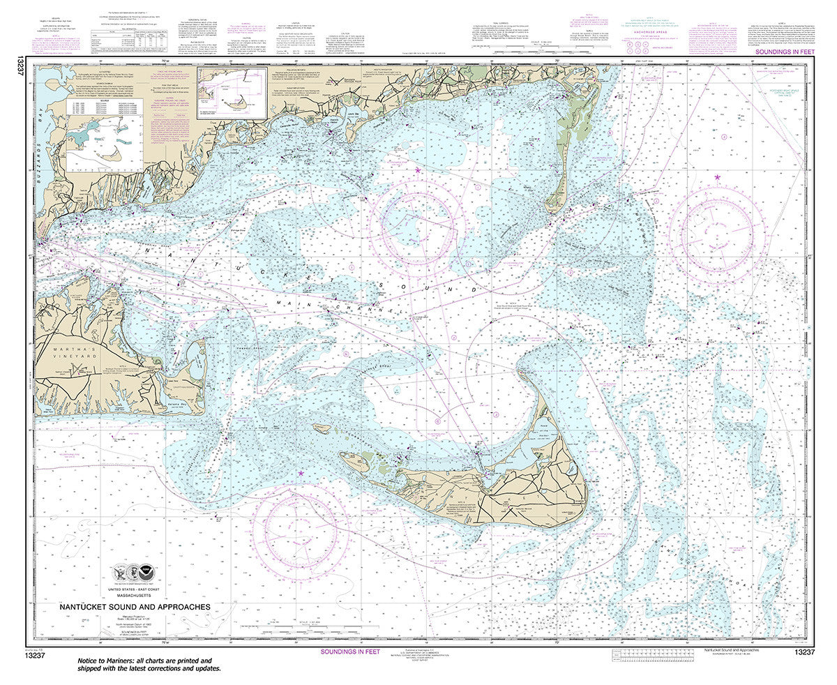
13237
$ 18.95 $ 27.00
Official NOAA chart for Nantucket Sound and Approaches To see adjacent charts in this area please explore our Atlantic Coast Catalog Standard size: 44" wide by 36" tall If you...


13238
$ 18.95 $ 27.00
Official NOAA Chart of: Martha's Vineyard Eastern Part; Oak Bluffs Harbor; Vineyard Haven Harbor; Edgartown Harbor To see adjacent charts in this area please explore our Atlantic Coast Catalog Standard...
© 2025 FrugalNavigator.com. POS and Ecommerce by Shopify