1 to 5000


11392
$ 18.95 $ 27.00
Official NOAA Chart: St. Andrew Bay - Bear Point to Sulpher Point Standard size: 36" wide by 32" tall If you would prefer a smaller, lighter and less bulky format...


12255
$ 18.95 $ 27.00
Official NOAA Chart: Little Creek Naval Amphibious Base To see adjacent charts in this area please explore our Atlantic Coast Catalog Standard Chart: 28" wide by 44" tall If you...


12338
$ 18.95 $ 27.00
Official NOAA Chart: East River Newtown Creek Standard size: 39" wide by 36" tall If you would prefer a smaller, lighter and less bulky format for navigating, you may want...


18527
$ 18.95 $ 27.00
Official NOAA Chart of the Swan Island Basin on the Willamette River in Oregon. This chart is printed from the most recent NOAA ENC data. Standard size: 44" wide by 34"...


18746 H
$ 8.95
Official NOAA Chart of Dana Point Harbor. This nautical chart is printed from the most recent ENC data. Standard Chart : 35" by 23" Frugal Navigator uses the NOAA Custom Chart...


18758
$ 18.95 $ 27.00
Official NOAA Chart for Del Mar Boat Basin Standard Chart : 40" wide by 29" tall If you would prefer a smaller, lighter and less bulky format for navigating, you...


19331
$ 8.95 $ 27.00
Official NOAA Chart of Kailua Bay on the Island of Hawaii. This chart is printed from the most recent NOAA ENC data. Standard size: 34" wide by 22" tall Frugal Navigator uses...


19353
$ 18.95 $ 27.00
Harbors of Moloka'i Kaunakakai Harbor;Puko'o Harbor;Kamalo Harbor;Kolo Harbor;Lono Harbor


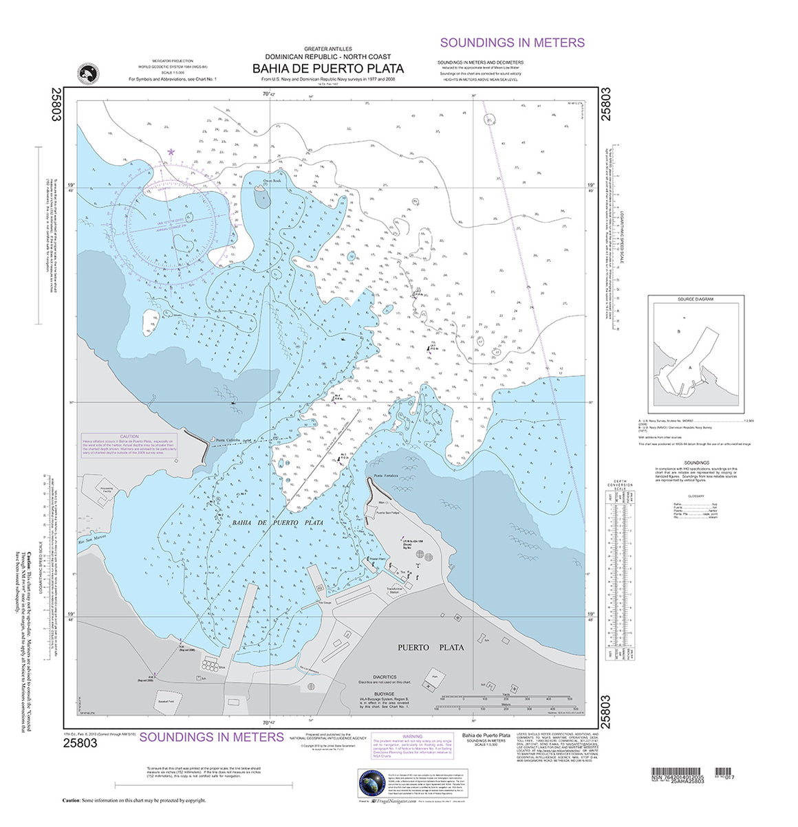

25803
$ 18.95 $ 27.00
Official NGA Chart for the North Coast of the Dominican Republic : Bahia De Puerto Plata 27" wide by 28" tall


29323
$ 18.95 $ 27.00
Official NGA Chart of McMurdo Station and Vicinity; Ross Island - Hut Point Peninsula 36" tall by 46" wide
© 2025 FrugalNavigator.com. POS and Ecommerce by Shopify