VARIOUS SCALES


11348
$ 58.95
Official NOAA Chart for the Intracoastal Waterway : Forked Island to Ellender, including the Mermantau River, Grand Lake and White Lake. This set off nautical charts is printed from the...


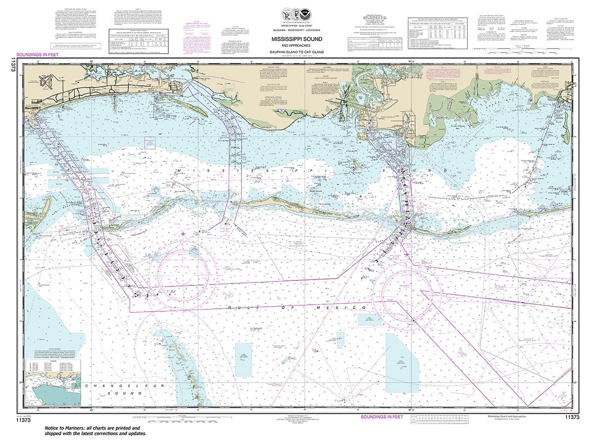
11373
$ 54.95
Official NOAA Chart: Mississippi Sound and approaches Dauphin Island to Cat Island Small Craft Folio


11385
$ 49.95
Official NOAA Chart of the Intracoastal Waterway from West Bay to Santa Rosa Sound. This chart is printed from the latest NOAA ENC data. Small Craft Folio : an 8 sheet...


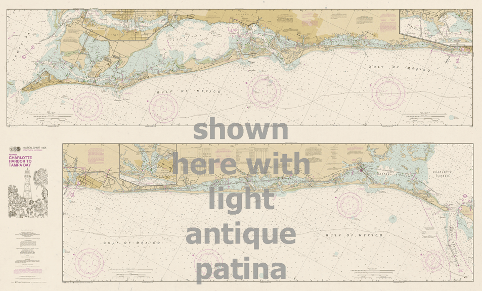
11425 wall chart options
$ 18.95 $ 27.00
Intracoastal Waterway : Charlotte Harbor to Tampa Bay ( not intended for navigation ) printed on one side only Full Size: 60" x 36" Small: 48" x 29" If...


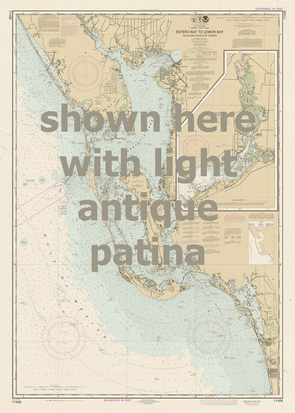
11426 wall chart options
$ 18.95 $ 27.00
Estero Bay to Lemon Bay for Wall Mounting (not intended for navigation) Full size 35" x 49" Small size 24" x 36" If you do not see the size or...


11524
$ 18.95 $ 27.00
Official NOAA Chart of Charleston Harbor. This chart is printed with the most recent NOAA ENC data. Standard Chart : 36" by 48" , 1:20,000 scale Small Craft Folio : 5...


11534
$ 73.95
Official NOAA Chart of the Intracoastal Waterway from Myrtle Grove Sound and Cape Fear River to Casino Creek. These nautical charts are printed from the most recent NOAA ENC data....


11537
$ 40.95
Official NOAA Chart of the Cape Fear River from Wilmington to the Cape. This set of nautical charts is printed from the most recent NOAA ENC data. Small Craft Folio...


12316
$ 64.95
Official NOAA Chart for the Intracoastal Waterway from Little to Cape May. This chart is printed from the most recent NOAA ENC data. Small Craft Folio : 9 Sheets, 23"...


12324
$ 55.95
Official NOAA Chart of the Intracoastal Waterway: Sandy Hook to Little Egg Harbor. This chart is printed from the most recent NOAA ENC data. Small Craft Folio : six intracoastal waterway...


13229
$ 101.95
Official NOAA Chart for Cape Cod Bay, the South Coast of Cape Cod and Buzzards Bay. This Small Craft Folio consists of 18 charts printed from the most recent NOAA...


13235
$ 18.95
Official NOAA Chart of Woods Hole. This nautical chart is printed from the most recent ENC data. Standard Chart : 35" by 46" - 1:5,000 Scale Small Craft Folio : one sheet...


13236
$ 18.95
Official NOAA Chart of Cape Cod Canal and Approaches. This chart is printed from the most recent NOAA ENC data. Standard Chart : 36" by 56", 1:25,000 Scale Small Craft...


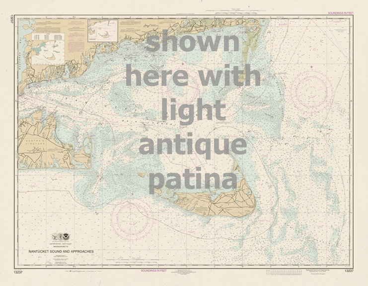
13237 wall chart options
$ 18.95 $ 27.00
Nantucket Sound and Approaches ( not intended for navigation ) Full size: 45" x 35" Small: 36" x 28" If you don’t see the size or configuration needed in the...


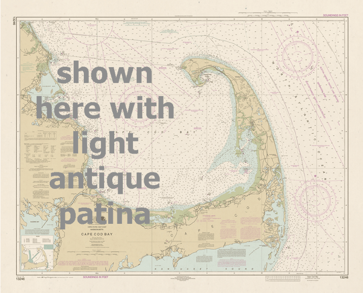
13246 wall chart options
$ 18.95 $ 27.00
Cape Cod Bay for wall mounting ( not intended for navigation ) Full Size: 45" x 36" Small: 36" x 29" If you don’t see the size or configuration needed...


13274
Sold Out
Portsmouth Harbor to Boston Harbor; Merrimack River Extension Small Craft Folio in 18" by 24" Chart Case


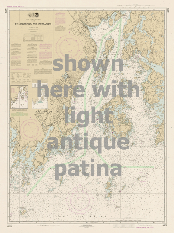
13302 wall chart options
$ 18.95 $ 27.00
Penobscot Bay and Approaches ( not intended for navigation ) Full size: 34" x 46" Small: 27" x 36" If you don’t see the size or configuration needed in the...


13309
$ 18.95 $ 27.00
Official NOAA Chart of the Penobscot River. This nautical chart is printed from the most recent ENC Data. Standard Chart ( Southern Part ) Eggemoggin to Verona Park - 35" by...


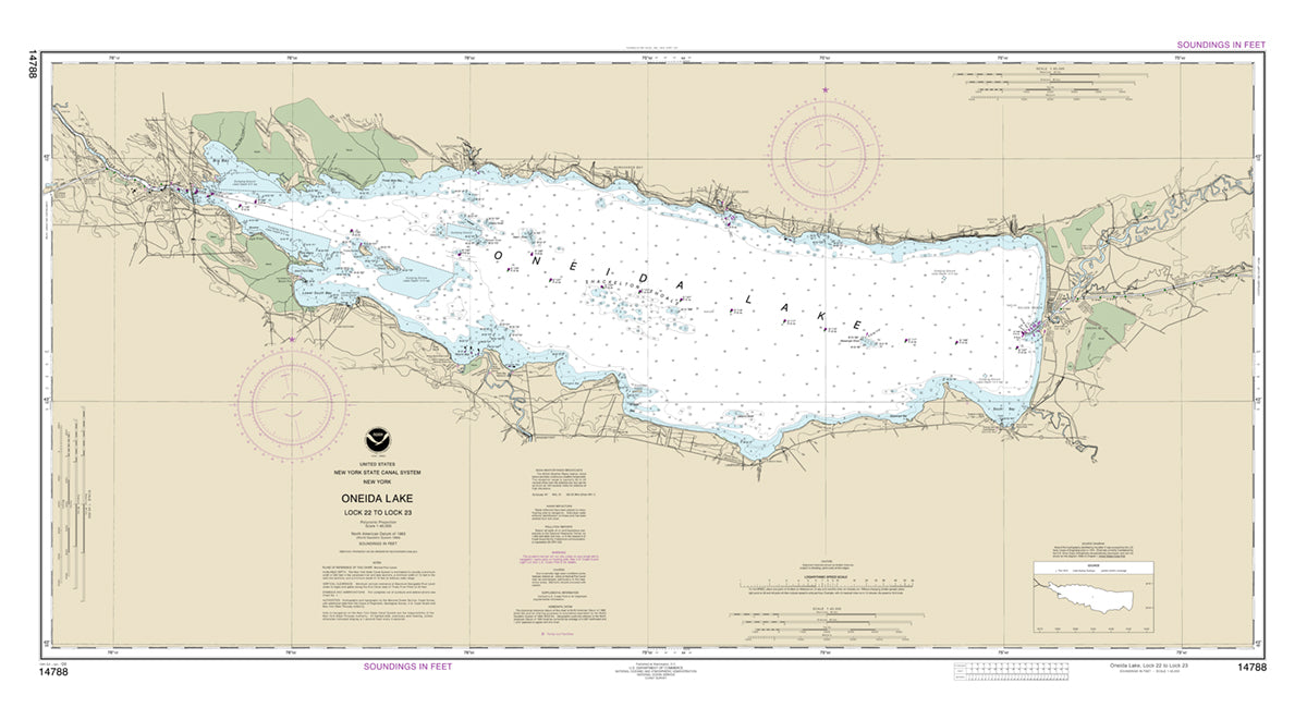
14788 Wall Chart Options
$ 18.95 $ 31.95
Oneida Lake - Lock 22 to Lock 23 - for Wall Mounting (not intended for navigation) Full size 49" x 27" Small size 36" x 24" If you do not...


14830
$ 31.95
Official NOAA Chart covering the West End of Lake Erie. This chart is printed from the most recent ENC data. Small Craft Folio : Four Sheets consisting of Sheet 1 -...


14844
$ 46.95
Official NOAA Chart covering the Islands in Lake Erie. This Chart is printed from the most recent ENC data. Small Craft Folio : Seven sheets folded in half and shipped...


18464
$ 8.95
Official NOAA Chart of Port Townsend in Washington State. This chart is printed from the most recent ENC data. Standard Chart : 23" by 35", scale 1:24,000 Small Craft Folio :...

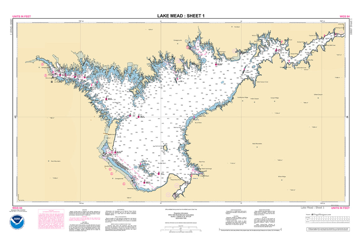
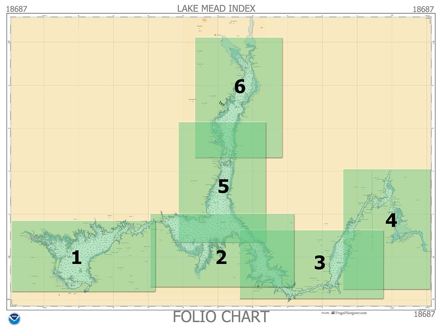

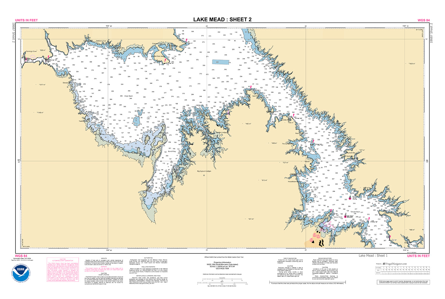
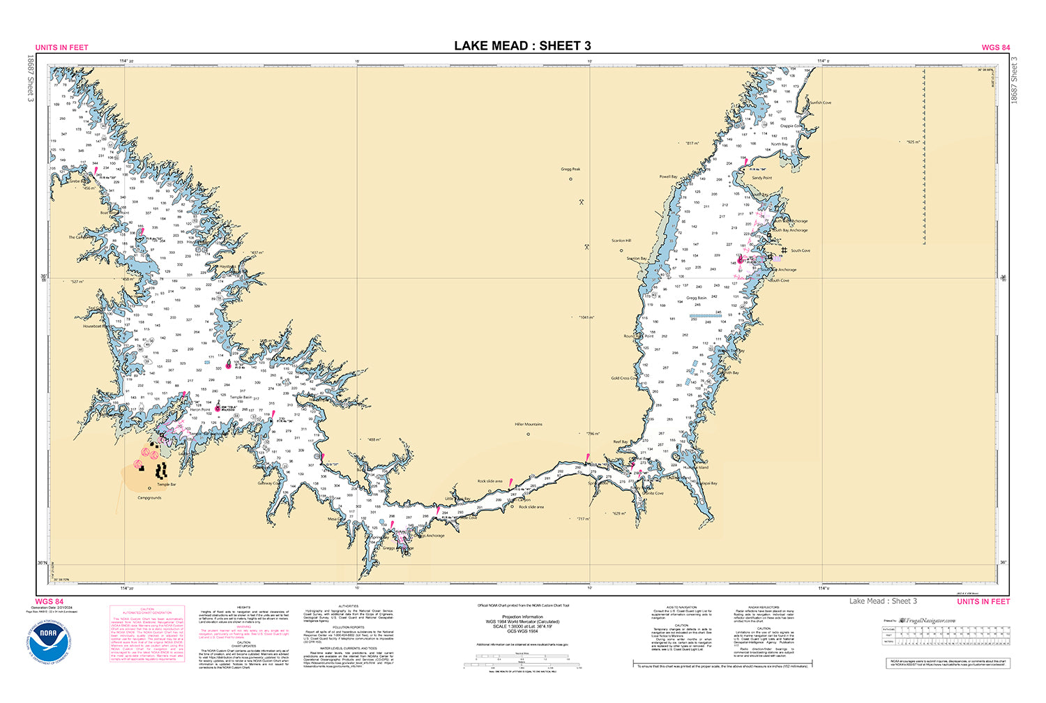
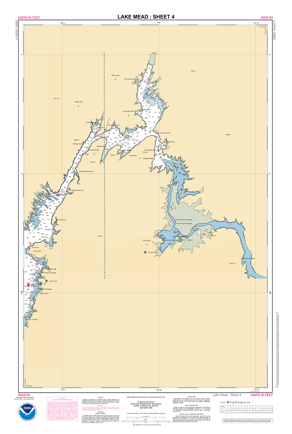
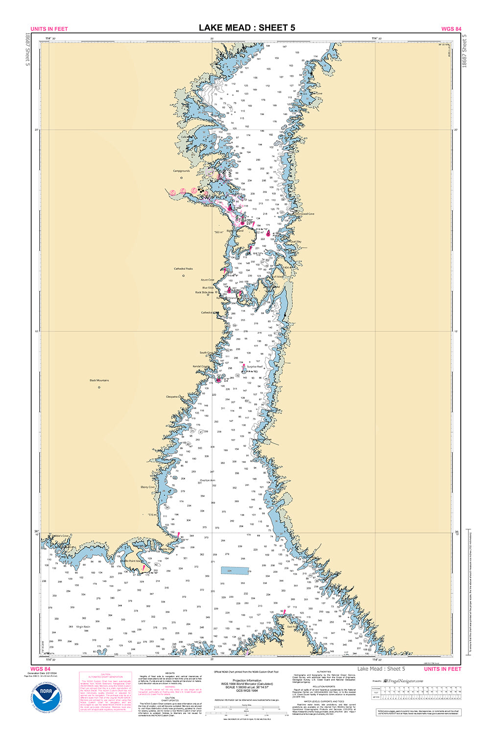
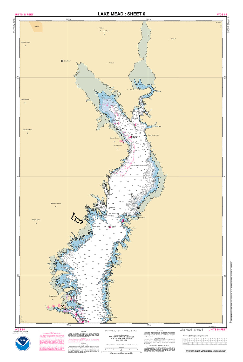
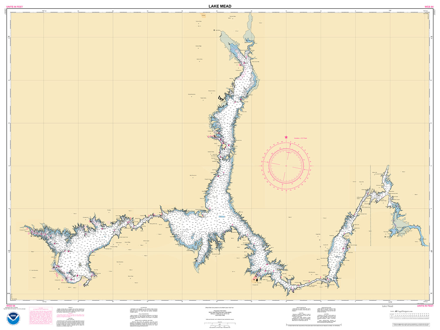
18687
$ 18.95 $ 27.00
Official NOAA Chart of Lake Mead. Available as a standard (single sheet) chart 56" wide by 36" tall. Scale 1: 78,000 Also available as a Folio Chart made up of...
© 2025 FrugalNavigator.com. POS and Ecommerce by Shopify